Track and record boat races with BoatBeacon groups

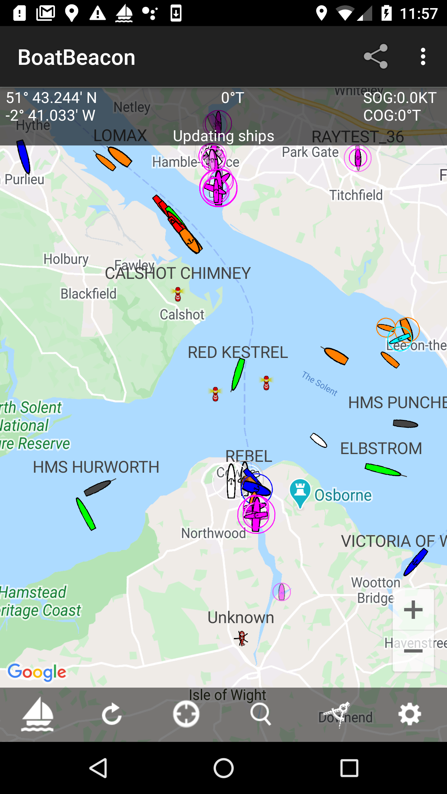
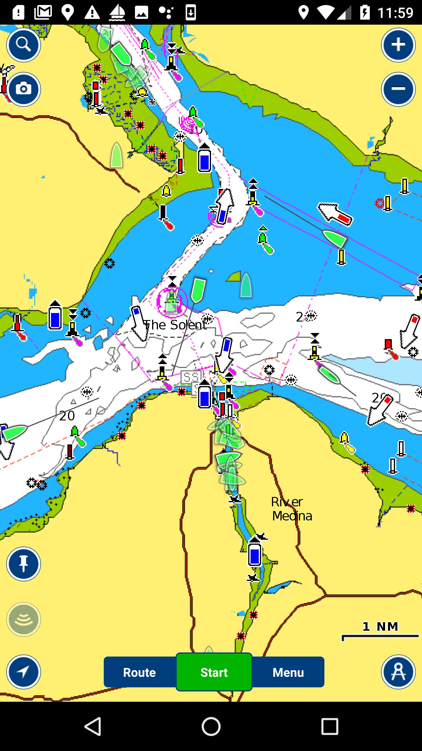
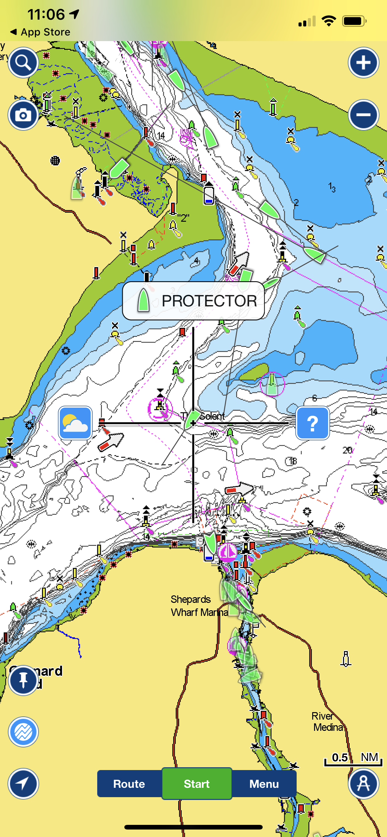
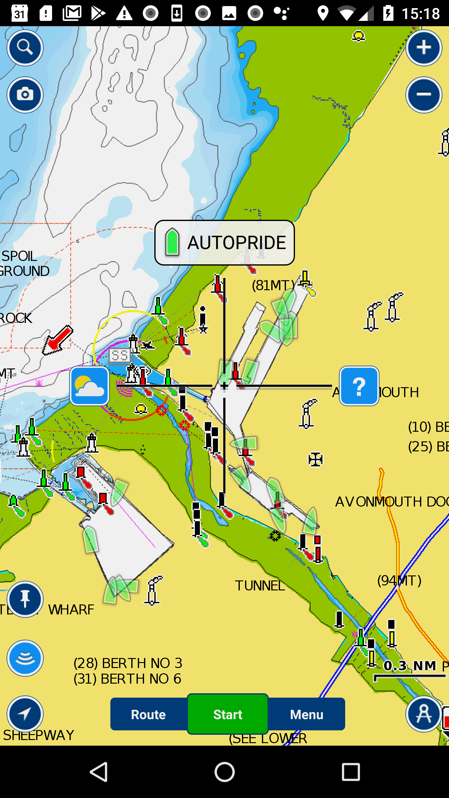
You can now track, record and replay races with Boat Beacon on Android and iOS using groups and the following web page:-

https://boatbeaconapp.com/ais/race/MYGROUPNAME

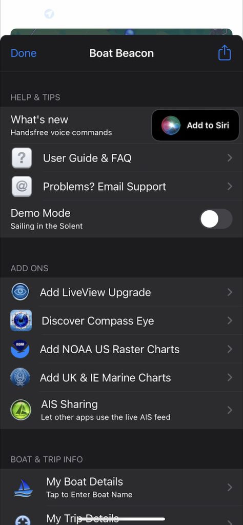
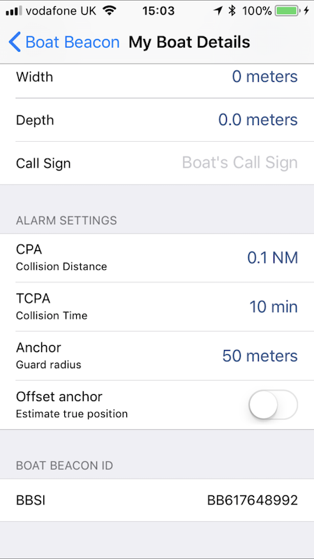
Where MYGROUPNAME is your group name. The group hashtag name is anything you like up to 20 capital letters (no spaces). Set your group name in Boat Beacon/Settings/My Trip Details.

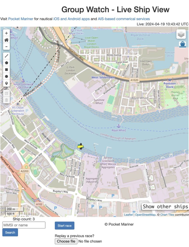
The initial view shows the last know position of all boats in the group. Click on “Start race” to show and track live positions. A race timer displays how long the race has been running for. Click on “Stop race” to end and save the race information to a local file.

When you stop the race two timestamped files are exported to your local desktop, a .kml file that can be used to view the tracks in Google Earth and a .geojson file which can be re-loaded up to the web page to replay the race using the “Choose file” button.

When a previously recorded race is loaded the following controls appear

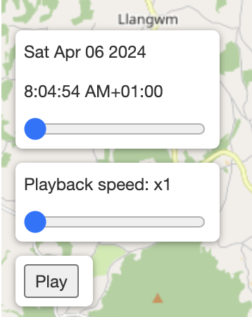
A slider to fast forward and back through the race and tracks. A Playback speed slider to set the speed of the playback and a Play/Stop button. Click the Play button to start replaying the race from the slider position. There is also a checkbox top right “GPS Tracks” to turn the tracks on and off.

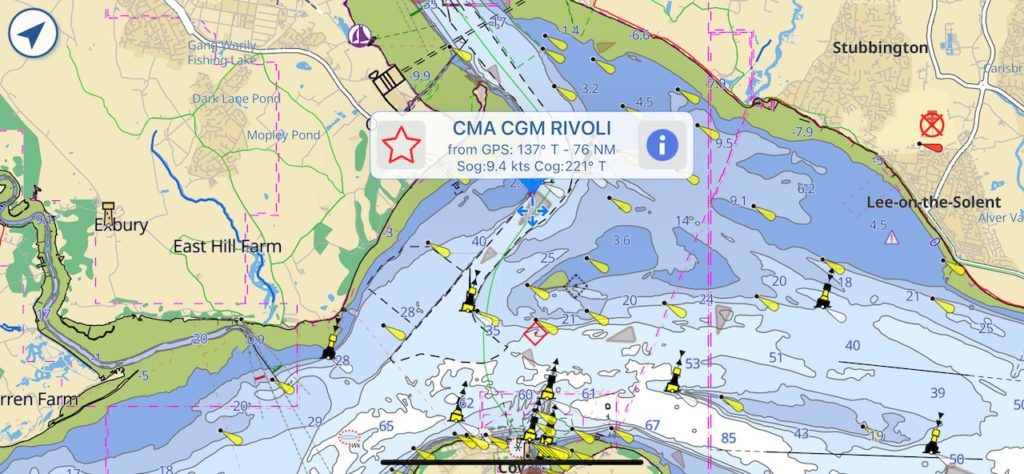
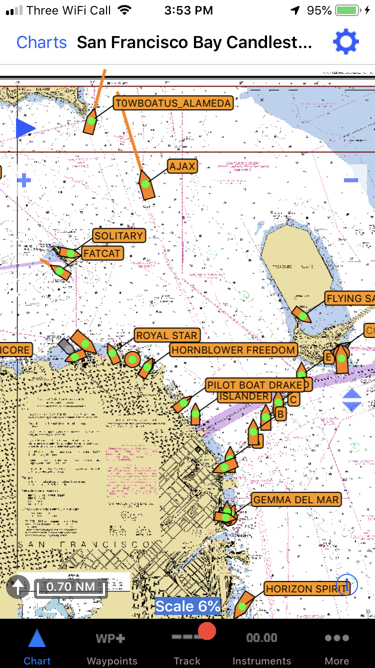
Here is the PocketMariner YC page – currently both boats ashore.

https://boatbeaconapp.com/ais/race/PMYC

There is a recorded track you can download to your desktop and load up to try here ( N.B this was a cycle test track with one “test” boat ):-

PMYC_2024-04-06T07_04_39Z.geojson

We are looking for early adopters to gather feedback on what other features or improvement could be made to make the new Group Race feature useful. Please let us know if you try it and how you get on by emailing help@pocketmariner.com with the subject “Group races”.

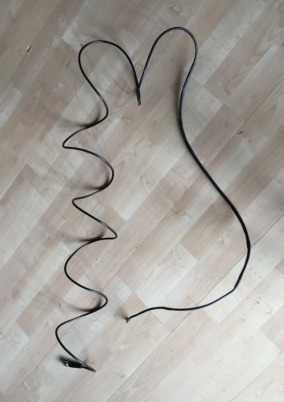
We are also looking at the possibility of tracking  yachts and dinghies during club races using inexpensive small GPS trackers like the one below as an alternative to having the Boat Beacon app and are looking for a volunteer Yacht club to try this with.


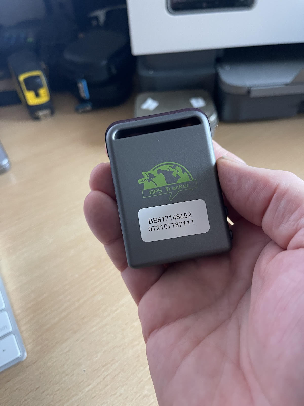
The basic  idea is for the tracker and sim card to be cheap enough for a club to have enough of these devices to hand out to all race participants who don’t have Boat Beacon so they can follow the tracks of all participating yachts and dinghies on screen at the club house and review the race afterwards.

Our tests of the trackers show they can run for around 12 hours on one charge with position updates every 5s (12m accuracy at 5 Knots). We have sourced non-expiring IoT data sim cards which work on all networks with enough data pre-installed for 5 million fixes. We are now looking to try with real races and need a volunteer Yacht club based in the UK. We will supply the trackers for the trial at cost and the service for free. The raw cost per GPS tracker device including the lifetime sim card is around £35. If you are interested please contact help@pocketmariner.com with the subject “Race Trackers”.


Aqua Map and Boat Beacon AIS Sharing

Get live AIS ship positions around you on the Aqua Map app with Boat Beacon’s virtual AIS receiver.
 
Boat Beacon can now share its real time AIS feed from our global AIS aerial network via NMEA with Aqua Map on the same device or on the same Wifi Network. Boat Beacon acts as a “Virtual AIS Receiver” and is the first and currently only app out there that offers this .
 
Aqua Map have worked closely with us with their app’s  AIS  & WiFi feature and have tested and recommend Boat Beacon in their  Wifi Connections Guide.
 
The new Boat Beacon AIS Share feature is free to try in demo mode.  If you find it useful you can use it any time when you are out boating for a small monthly or annual subscription via IAP.  The Aqua Map AIS feature requires their Master subscription IAP  for AIS and Wifi connections which comes with a 14 day free trial.
 
You can get the latest version of Boat Beacon from the Apple App Store here and Google PlayStore here. Aqua Map is available for iOS here  and on Android here
 
This is a step by step guide on how to configure Boat Beacon AIS Sharing with Aqua Map on iOS. The guide uses Boat Beacon’s demo mode so you can try for free at home away from the coast and without having to purchase an AIS sharing subscription.
 
1. Launch Boat Beacon and go into Boat Beacon settings and turn on “Demo Mode”, then turn on AIS Sharing. It will show the default TCP port number to use 5353 and will be orange ( not connected). N.B. If you are not in the UK the demo mode will be centred on San Francisco bay in the US or other locations.
 
 
2. Tap Done top left and go back to the chart view. This will position the map on a virtual boat in the Solent ( or San Francisco Bay). All the other boats in view are real and live. Tap the sailboat icon bottom left to start sailing the demo route.
 
3. Now switch to the Aqua Map app (on the same device) and position the chart on the Solent ( or San Francisco Bay) and then tap Settings wheel bottom right so you can configure AIS.
 
Scroll down to “Wi-fi connections”
 
 
You should then see the Connections screen*, tap “+” at the top right
 
(* If you already have a device set up you can add another by tapping the + at the top right on the device list screen.)
 
Select”Boat Beacon app”. This will automatically configure the settings


Tap “Save” top right and go back to the map view. You should now see live AIS boat and ship icons ( brown triangles and circles on the map) and even a SART Alarm in the screenshot below
 
 
Now every time you run Boat Beacon in Sailing mode Aqua Map will automatically connect and receive the live AIS data from around your GPS location out to 30NM.
 
Notes on setting up AIS Sharing:
  • When using Demo mode to try AIS Sharing out for free you have to position Aqua Map to the same  location as Boat Beacon is simulating at – e.g. the Solent for EU, San Francisco for US, Lübecker Bucht for Germany and Sydney harbour for Australian users
  • Boat Beacon must be in Sailing mode to maintain the AIS feed when it is in the background ( e.g. when you are viewing the Aqua Map chart) on your device.

  • Make sure you have Location sharing for Boat Beacon set to “While using” in your device Privacy/Location settings. Please note Boat Beacon will only use your location when it is running ( foreground) or in the background when in Sailing mode.
  • You do not need to have a WiFi connection to your device to use Boat Beacon and Aqua Map on the same device.  While Aqua Map will run completely offline you must have an internet connection though (e.g. Cellular/Mobile) to receive Boat Beacon’s AIS data. 
  • You can share to Aqua Map on other devices too if they are on the same local WiFi network using the IP address shown in Boat Beacon’s AIS Sharing setting instead of 127.0.0.1 in the Aqua Map Connection setting.
  • iOS14 has introduced a new privacy permission if apps want to use local network resources which Aqua Map needs to have set to yes. The OS will prompt you the first time either app tries to use a connection. You can manually set/change the permission in your device’s Settings/Privacy/Local network
  • Might sound obvious, but it has caught a couple of people out. You need to subscribe to the monthly or yearly Boat Beacon AIS Sharing feature via IAP ( tap the AIS Sharing row in Settings to bring up the IAP screen) to use Boat Beacon with Aqua Map when not in demo mode. Also Aqua Map needs their iAP (Master subscription) for using AIS and WiFi Connections.
  • If you have any questions or problems getting it working please email us at help@pocketmariner.com
Collision Avoidance

The primary purpose of AIS is monitoring and alerting for potential collisions. Boat Beacon’s AIS service has two key advantage, instant ship details and over the horizon detection ( out to 30NM).  With VHF AIS only the MMSI number, position and speed appear initially and it can take up to 6 minutes for the ship names and type details to be received. With Boat Beacon the names, size and type are available instantly with position so you can call them up by name over VHF radio and check their intentions.  VHF AIS receivers can only see as far as the visual horizon which is typically about 12NM whereas Boat Beacon’s multiple shore antennas at high elevation can provide coverage out to 30NM in popular areas.

Boat Beacon has configurable options for collision detection distance, time and alerting in Settings. 

You can also configure collision avoidance alert parameters in Aqua Map’s settings:-

  • Collision avoidance: to enable the alarms related to the Collision avoidance (red flashing color for the colliding targets, AIS box red flashing, sound alarms, …).
  • Minimum allowed CPA: to select the CPA (Closest Point of Approach = minimal distance 2 boats will be if following same direction and speed) below which a target is considered colliding. This calculation is done for the time specified in the “Time to CPA” field. In the example above this means that an alarm will be fired if any boat will be closer that 350 ft to our boat in the next 10 minutes.
    NOTE: the collision is calculated considering the GPS position received and a hypothetical boat size (size of the boat in AIS data is frequently unknown or unreliable). So for big boats  this could lead to undetected collisions.
  • Time to CPA: to define the maximum time in the future for which you would search a possible collision.
  • Alarm sound: to select the type of sound alarm you would receive each time a new collision is detected.
  • Volume: to select the volume for the alarm sound you selected.

“Hey Siri, Man Overboard”

As the new boating season starts we have added a new, unique and useful feature for our popular Boat Beacon app – “Hey Siri, Man Overboard”

Boat Beacon now supports several Siri voice commands which you can use with your device or on your Apple Watch (requires iOS 12 or later and WatchOS7 or later). This lets you use Boat Beacon’s features hands free. The current list of voice commands are:-

  1. “Man Overboard “- Toggles Marking and tracking a man overboard position with Boat Beacon
  2. “Start Sailing” – put Boat Beacon into “On boat” mode. Same as tapping the Sailboat icon bottom left 
  3. “Finish Sailing” –  Turn off Boat Beacon “On boat” mode.
  4. “Drop Anchor” – Mark your anchor position and set a drift zone around it.
  5. “Up Anchor”- removes the Anchor watch.
  6. “Navigation status” – report current speed, course and heading.

You can add the commands to Siri from the Boat Beacon app in settings or directly in the Siri App itself. They work directly with Siri without having to mention “Boat Beacon” in the command. You can also customise the commands to respond to your own preferred phrases or language.

Tap the Add to Siri button in Boat Beacon settings to see the list of commands that are active and more that you can add. “Drop anchor” and “Start sailing” have been added in the screenshot. To add another command just tap its “Add to Siri” button. Once added you can ask Siri to do them at any time on your device or your Apple Watch.

You can also edit the commands that have been added by tapping the “Added to Siri” button next to them and add additional speech commands to launch them. For instance add “On board” as an addition/alternative to “Start sailing. You can type the phrase or enable dictation and speak it. Useful also for setting phrases in other languages or using alternative phrases that Siri finds it easier to understand.

You can view and delete the commands in the Siri Shortcuts app on your phone. Once added the commands work automatically on your Apple Watch, no more set up required. If you want to see them in the actual Siri app on your Apple Watch as well then you can set “Show on Apple Watch” in the Shortcut settings in the Siri app on your phone.

Try it now. Add “Man Overboard” and then say “Hey Siri, Man Overboard” to your iPhone/iPad or your watch. It will sound an alert,  mark the position and start tracking it for you.

Say “Man Overboard” again to clear the alert. N.B. This will still leave Boat Beacon in sailing mode.

There is a User guide in the app and online here:-

https://boatbeaconapp.com/ais/SiriHelp/SiriHelp.html

How to setup Boat Beacon AIS Sharing to OpenCPN

Get live AIS ship positions around you in the OpenCPN app on Windows, Mac, Android and RPi without the need for an AIS receiver.   Boat Beacon can now share its real time AIS feed from our global AIS aerial network via NMEA with OpenCPN on the same device or on the same Wifi Network. Boat Beacon acts as a “Virtual AIS Receiver” and is the first and currently only app out there that offers this .  The Boat Beacon AIS Share feature is free to try.  If you find it useful you can use it any time when you are out boating for a small monthly or annual subscription via IAP.   You can get the latest version of Boat Beacon from the Apple App Store here and Google PlayStore here.   This is a step by step guide on how to configure Boat Beacon AIS Sharing on iOS (Android guide here) with OpenCPN running on a Windows PC or Mac. Boat Beacon and OpenCPN must be running on the same Wifi network or device. The guide uses Boat Beacon’s demo mode so you can try for free at home away from the coast and without having to purchase an AIS sharing subscription.  

1. Launch Boat Beacon and go into Boat Beacon settings and turn on “Demo Mode”, then turn on AIS Sharing. It will show the IP address (192.168.7.111 in this case) and default TCP port number to use 5353 and will be orange ( not connected). Remember the IP address for use later in OpenCPN. N.B. If you are not in the UK the demo mode will be centred on San Francisco bay in the US.  

  2. Tap Done top left and go back to the chart view. This will position the map on a virtual boat in the Solent ( or San Francisco Bay). All the other boats in view are real and live. Tap the sailboat icon bottom left to start sailing the demo route.

  3. Now switch to the OpenCPN app on your PC ( or Mac) and position the map on the same demo location as Boat Beacon, Solent ( or San Francisco Bay).

On windows click the Spanner icon to open the Options Dialog which has 6 tabs, as seen below. On Mac click Preferences under OpenCPN top left in the toolbar.

Tap Connections, Add ConnectionScreenshot 2021-08-02 at 16.00.09.png

Select Network, select TPC for the protocol, enter the Address (192.168.7.111) and DataPort number (5353) from Boat Beacon. You can enter a User Comment (e.g. Boat Beacon AIS) so you can distinguish this connection from any other connections you add. Leave everything else as default for now.

Screenshot 2021-08-02 at 15.51.32.png

Tap Apply to save and create the new connection and you should see this with the new Boat Beacon connection enabled:-

Screenshot 2021-08-02 at 15.53.40.png

The Settings are persistent, meaning that settings entered in one session will still be there on restart. The live AIS data from Boat Beacon will then display in OpenCPN.

Please note Boat Beacon will use your GPS position ( in non demo mode) to fetch and share the AIS data from (not the displayed map position) so OpenCPN will need to be centred on your GPS location too.

Notes:

  • Boat Beacon must be in Sailing mode to maintain the AIS feed when it is in the background ( e.g. when you are viewing the Navionics Boating app) on your device.
  • Make sure you have Location sharing for Boat Beacon set to “Always” in your device Privacy/Location settings. Please note Boat Beacon will only use your location when it is running ( foreground) or in Sailing mode. It will not “Always” use your location – it’s just an unfortunate terminology from Apple.
  • You must have an internet connection though (e.g. Cellular/Mobile) for Boat Beacon to receive the AIS data.
  • iOS14 has introduced a new privacy permission if apps want to use local network resources which both Boat Beacon  and Navionics need to have set to yes. The OS will prompt you the first time either app tries to use a connection. You can manually set/change the permission in your device’s Settings/Privacy/Local network. See screenshot below for how we have it set.
  • Might sound obvious, but it has caught a couple of people out. You need to subscribe to the monthly or yearly AIS Sharing feature via IAP ( tap the AIS Sharing row in Settings to bring up the IAP screen) to use Boat Beacon with Navionics when not in demo mode.
  • If you have any questions or problems getting it working please email us at help@pocketmariner.com


Setup Boat Beacon Android AIS Sharing to Navionics Boating

Get live AIS ship positions around you on the Navionics Boating app without the need for an AIS receiver.
Boat Beacon can now share its real time AIS feed from our global AIS aerial network via NMEA with Navionics on the same device or on the same Wifi Network. Boat Beacon acts as a “Virtual AIS Receiver” and is the first and currently only app out there that offers this .
Navionics have worked closely with us on this with their Boating app  AIS feature and recommend Boat Beacon in its own category in their  Boating app – AIS Devices Compatibility Guide.
The new Boat Beacon AIS Share feature is free to try.  If you find it useful you can use it any time when you are out boating for a small monthly or annual subscription via IAP.
You can get the latest version of Boat Beacon from the Apple App Store here and Google PlayStore here.
This is a step by step guide on how to configure Boat Beacon AIS Sharing with Navionics on Android (there is an iOS guide here). The AIS Sharing feature includes a free no obligation 3 day trial so you can try before you buy.
1. Launch Boat Beacon and go into Boat Beacon settings and tap “Share AIS to other Apps”. You will be offered a free three day trial with one of the two subscription period options. There is no charge if you want to cancel before the end of the trial period. Next set ‘Share AIS’ on.
You will see this prompt advising the settings to use in Navionics.
Also make sure that Collision and SART alarms is enabled in Boat Beacon Gerenral settings ( it is by default) so that Boat Beacon will continue  refreshing ship positions when in the background.
Tap OK, go back to the map view and set sailing mode on (Sailboat icon bottom left). This will position Boat Beacon on your current GPS location.  Here I am positioned in the Solent in the UK aboard the Red Kestrel. (*N.B. See notes below if there are no ships within 30 miles of your GPS location and you need to pan the map to a location away from your GPS position to see ships).

2. Now switch to the Navionics Boating app (on the same device) and position the Navionics map on your GPS position  and then tap Menu so you can configure AIS.
Scroll down to “Paired Devices”
You should then see this screen*, tap “Add Device” at the bottom.
(* If you already have a device set up you can add another by tapping the + at the top right on the device list screen.)
Fill out the Name as “Boat Beacon” ( or whatever you want to call the connection), the Host as 127.0.0.1 and the Port Number as 5353 and make sure the protocol is set as TCP.
Tap “Save” top right and go back to the map view. You should now see live AIS boat and ship icons on the Navionics map.
Now every time you run Boat Beacon in Sailing mode Navionics will automatically connect and receive the live AIS data from around your GPS location out to 30NM.
If you check back in Menu/Paired devices you will see Boat Beacon as Connected and AIS: Receiving data
Notes:
  • *If you are trying this at home far from the sea and live vessel positions you can still see AIS ship positions from Boat Beacon in Navionics but they will not get automatically updated. Pan the Boat Beacon map to a location where there are live AIS targets. Set AIS sharing on and launch Navionics and pan its map to the same location. You will see the ships’ last positions from Boat Beacon. However they will not get automatically updated. The targets in Navionics will start showing red crosses as their AIS data gets old. This is because when Boat Beacon is running in the background it can only automatically update ship positions around your GPS location. If you re-visit Boat Beacon, refresh the map and then go back to Navionics the AIS targets will all be updated again.
  • Boat Beacon must be in Sailing mode and Collision and SART alarms must be enabled to maintain the AIS feed when it is in the background ( e.g. when you are viewing the Navionics Boating app) on your device.
  • Boat Beacon will automatically update AIS targets around your GPS location when it is running in the background.
  • You do not need to have a WiFi connection to your device to use Boat Beacon and Navionics on the same device. You must have an internet connection though (e.g. Cellular/Mobile).
  • You can share to Navionics on other devices too if they are on the same local WiFi network using the IP address shown in Boat Beacon’s AIS Sharing setting instead of 127.0.0.1 in the Navionics Devices setting.
  • If you have any questions or problems getting it working please email us at help@pocketmariner.com

How to setup Boat Beacon AIS Sharing to Navionics Boating app

Get live AIS ship positions around you on the Navionics Boating app without the need for an AIS receiver.
 
Boat Beacon can now share its real time AIS feed from our global AIS aerial network via NMEA with Navionics on the same device or on the same Wifi Network. Boat Beacon acts as a “Virtual AIS Receiver” and is the first and currently only app out there that offers this .
 
Navionics have worked closely with us on this with their Boating app  AIS feature and recommend Boat Beacon in its own category in their  Boating app – AIS Devices Compatibility Guide.
 
The new Boat Beacon AIS Share feature is free to try.  If you find it useful you can use it any time when you are out boating for a small monthly or annual subscription via IAP.
 
You can get the latest version of Boat Beacon from the Apple App Store here and Google PlayStore here.
 
This is a step by step guide on how to configure Boat Beacon AIS Sharing with Navionics on iOS (Android guide here). The guide uses Boat Beacon’s demo mode so you can try for free at home away from the coast and without having to purchase an AIS sharing subscription.
 
1. Launch Boat Beacon and go into Boat Beacon settings and turn on “Demo Mode”, then turn on AIS Sharing. It will show the default TCP port number to use 5353 and will be orange ( not connected). N.B. If you are not in the UK the demo mode will be centred on San Francisco bay in the US.
 
 
2. Tap Done top left and go back to the chart view. This will position the map on a virtual boat in the Solent ( or San Francisco Bay). All the other boats in view are real and live. Tap the sailboat icon bottom left to start sailing the demo route.
 
3. Now switch to the Navionics Boating app (on the same device) and position the Navionics map on the Solent ( or San Francisco Bay) and then tap Menu so you can configure AIS.
 
Scroll down to “Paired Devices”
 
You should then see this screen*, tap “Add Device” at the bottom.
 
(* If you already have a device set up you can add another by tapping the + at the top right on the device list screen.)
 
Fill out the Name as “Boat Beacon” ( or whatever you want to call the connection), the Host as 127.0.0.1 and the Port Number as 5353 and make sure the protocol is set as TCP.


Tap “Save” top right and go back to the map view. You should now see live AIS boat and ship icons on the Navionics map.
 
Now every time you run Boat Beacon in Sailing mode Navionics will automatically connect and receive the live AIS data from around your GPS location out to 30NM.
 
If you check back in Menu/Paired devices you will see Boat Beacon as Connected and AIS: Receiving data
 
Notes:
  • Boat Beacon must be in Sailing mode to maintain the AIS feed when it is in the background ( e.g. when you are viewing the Navionics Boating app) on your device.
  • Make sure you have Location sharing for Boat Beacon set to “While using” in your device Privacy/Location settings. Please note Boat Beacon will only use your location when it is running ( foreground) or in the background when in Sailing mode.
  • You do not need to have a WiFi connection to your device to use Boat Beacon and Navionics on the same device. You must have an internet connection though (e.g. Cellular/Mobile).
  • You can share to Navionics on other devices too if they are on the same local WiFi network using the IP address shown in Boat Beacon’s AIS Sharing setting instead of 127.0.0.1 in the Navionics Devices setting.
  • iOS14 has introduced a new privacy permission if apps want to use local network resources which both Boat Beacon  and Navionics need to have set to yes. The OS will prompt you the first time either app tries to use a connection. You can manually set/change the permission in your device’s Settings/Privacy/Local network. See screenshot below for how we have it set.

  • Might sound obvious, but it has caught a couple of people out. You need to subscribe to the monthly or yearly AIS Sharing feature via IAP ( tap the AIS Sharing row in Settings to bring up the IAP screen) to use Boat Beacon with Navionics when not in demo mode.
  • If you have any questions or problems getting it working please email us at help@pocketmariner.com

Real-time internet AIS Sharing to Navionics, iNavX, AquaMap, OpenCPN, etc. with Boat Beacon

Boat Beacon can now share its real time AIS feed from our global AIS aerial network via NMEA with other apps on the same device or on the same Wifi Network. Boat Beacon acts as a “Virtual AIS Receiver” with over the horizon coverage and is the first and currently only app out there that offers this.
Boat Beacon’s global realtime AIS coverage.
 We hope this will prove popular with folks who already have other Marine Navigation apps/charts like Navionics,  iNavX, Aqua Map and  OpenCPN etc. which support an external NMEA AIS feed but don’t have their own Internet based AIS network or feed available.
Navionics have worked closely with us on this with their Boating app  AIS feature and recommend Boat Beacon in its own category in their  Boating app – AIS Devices Compatibility Guide.
The new Boat Beacon AIS Share feature is free to trial.  If you find it useful you can use it any time when you are out boating for a small monthly or annual subscription via IAP.
You can get the latest version of Boat Beacon from the Apple App Store here and Google PlayStore here.
By the way, our own top selling marine charts navigation app SeaNav already has AIS built in as standard and if you haven’t tried SeaNav why don’t you give it a spin for free first, you can download it from here now https://apps.apple.com/app/seanav/id857841271 .
Here are some screenshots from Navionics, iNavX and OpenCPN using it.

Navionics connected to Boat Beacon on 127.0.0.1 TCP port 5353

On iOS

On Android
 iNavX on same  device ( using TCP 127.0.0.1 port 5353 )

AquaMap

AquaMap

OpenCPN running on a Mac via Wifi to Boat Beacon running on an iPhone ( TCP to 192.168.1.106 port 5353).


There are some simple step by step instructions on how to set up Boat Beacon AIS Sharing with the Navionics Boating app here:-  https://pocketmariner.com/setup-boat-beacon-share-ais-navionics/

and here is the description in our user guide:-

AIS Sharing

Share Boat Beacon’s real time internet AIS feed via NMEA with other apps on your device and on the same Wifi network, like Navionics, OpenCPN on your Mac, iNavX , AquaMap etc. so you can see live ship positions around you on their charts as well. Pocket Mariner’s AIS service is fed by one of the largest network of AIS shore receivers world-wide covering most major ports, harbours and popular coastal areas with over 60,000 live ship positions at any time. Boat Beacon acts like a virtual AIS receiver and can also share your live position via Internet AIS with other users and internet based AIS services like MarineTraffic. After purchasing the Boat Beacon AIS Sharing IAP (monthly or yearly subscriptions available) just set your other apps NMEA TCP settings to connect to the IP address and TCP port (default is 5353) shown in Boat Beacon’s AIS Share setting. If you are sharing with an app on the same device you should use 127.0.0.1 as the IP address to connect to instead of the actual device IP address so you never have to change the setting when you are on a different network. Boat Beacon must be in sailing mode when sharing with other apps on the same device so it can track your position and continually update the live AIS data around you in the background. Tap the SailBoat icon  bottom left to enable Sailing mode. In the unlikely event that you need to change the TCP port number in Boat Beacon to another number, tap on the AIS Share setting row and enter it. 

On iOS you can try it out at home when there are no boats around your location by putting Boat Beacon into Demo mode ( Settings/Demo mode) first and then set sailing mode. Make sure the other app is showing the same map location as the demo mode is. Make sure to turn sailing and demo mode off when you are done. If Boat Beacon is not displaying any ships around your location then no ships will appear in the other apps either.

On Android get a 3 day free trial to try it out when you sign up for one of the subscription options. You can cancel the subscription at any time and will not be charged anything if you cancel before the end of free trial period.

Get the latest version of Boat Beacon from the App Store from here now and Google PlayStore here.

Simple 3dB dipole VHF AIS Marine Aerial from co-ax cable

Here’s how we make an AIS tuned 3dB gain VHF aerial using RF-coax cable.
Buy a 5 or 10m length of  50 ohm RF coax cable with bnc connectors already attached – this makes two – http://www.amazon.co.uk/dp/B00JVUP0L4. Cut to required length. Strip back the outer coating at the cut end to a length of 44.4cm + 5cm to make a loop (1/4wave for AIS frequencies). Pull the inner core through the outer sheath and lay the outer sheath back along the length of the coax and trim to 44.4cm. I add a couple of cm to the length so I can bend the tip of the inner core back on itself to hook it over something. Make sure the length of the inner is 44.4cm excluding the looped over end. Cover in heat shrink wrap if you want to make it waterproof and you have a 3dB gain AIS Aerial.
There is a useful video here showing how to do it here :-
and a photo of a 5m long one we made earlier. This one had a range of over 25NM when we put it on the 20th floor of a high rise in Singapore.
Screen Shot 2016-04-08 at 15.07.39

You could also go one step further and make a 6dB  collinear like this from Neil Arundale (I have made and used one of these too and it compared equally with a £120 commercial collinear).

I hope that this inspires someone. If you get connected up please consider sharing your AIS data with us. We can provide a dedicated port and web view for your data.

Alexa Boat Beacon skill – talk with your boat

Boat Beacon now works with the amazing Amazon Alexa and Echo devices using our free Alexa Boat Beacon skill.

“Alexa, ask Boat Beacon my position”

“Sarita is travelling North East at 6 Knots in the English channel currently 5 miles south west of Plymouth”.

Or ask for “exact position” and hear : “Sarita. Latitude 52 degrees 1 minute North, Longitude 1 degree 52 minutes 34 seconds West, course 55 degrees true, speed 5 Knots.”

You can see a short 19s video clip of the Boat Beacon Alexa skill in action here :-http://boatbeaconapp.com/BoatBeaconAlexa.mp4

Just ask Alexa to register your Boat Beacon 9 digit BBSI number (without the BB prefix) to associate the Alexa Boat Beacon skill with your own Boat Beacon app and put Boat Beacon in transmit mode (sailing)  to update your location, speed and course in real time.

“Alexa, ask Boat Beacon to register 617648992”

Response: “Boat Beacon BBSI 617648992 has been successfully registered. You may now ask for its position”.

You can find your unique Boat Beacon BBSI number at the bottom of Settings/My Boat Details in the Boat Beacon app on your iPhone or Android device. See the iPhone screenshot below.

Friends and family can also use the Boat Beacon Alexa skill to follow your progress  when you share your Boat Beacon BBSI 9 digit number with them.

We have lots of other ideas up our sleeves for the Alexa Boat Beacon skill if it proves popular. “Alexa, ask Boat Beacon to alert me on CPA” , “Alexa, ask Boat Beacon to tell me if the wind exceeds 6 knots” and would love to hear your ideas. And if you want to know where another boat is by name or MMSI number you can use our free Boat Watch Alexa skill

Get the free Boat Beacon Alexa skill here now:-

https://www.amazon.com/gp/product/B07BDN2W6X

How to find your BBSI number

Open settings in Boat Beacon on your iOS or Android device, select My Boat Details and scroll down to the bottom to see your Boat Beacon Id  (BBSI). Use the 9 digit number (without the BB letters ) to connect Alexa with your iOS or Android device.


Augmented Reality with FLIRONE

Augmented Reality with FLIR ONE

MORNING_CALM_BB_AR_FLIR_IOSPocket Mariner collaborated with Practical Boat Owner to successfully complete a demanding night time sea trial of our popular marine navigation apps, SeaNav HD and Boat Beacon with the  FLIR ONE Thermal Imager for iOS; a new, low cost , infra-red thermal imaging camera for the iPhone.  The FLIR ONE makes thermal imaging affordable and accessible to a much wider audience at a fraction of the cost of the higher end marine IR imaging devices. Pocket Mariner have ingeniously integrated the live thermal image with their widely acclaimed iOS Augmented Reality mode providing identification, distance and bearing of the ships and Aids To Navigation in view at night and in fog.  We wanted to see how well and how far off we could spot ships via their infra-red signature and if the FLIR ONE could help with searching for a Man Overboard (MOB).

Practical Boat Owner, the UK’s leading boating magazine, bravely deployed their editors, David Pugh and Ben Meakin, together with Ben’s Impala 28 yacht , “Polly” and intrepid “Woman Overboard” volunteer, Laura, along with Pocket Mariner’s CEO, Steve, on a pitch black night in Southampton water.

Here’s what we saw.

Continue reading “Augmented Reality with FLIRONE”