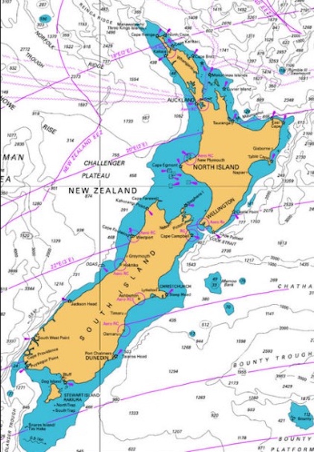
SeaNav now has seamless official raster (RNC) charts available for download for the whole of New Zealand and Finland. You can use all SeaNav’s route planning, POI and live navigation tools and display on top of the charts like you can with the existing vector charts.
Charts are automatically installed and saved as you browse and zoom in on SeaNav and you can also download all the charts in a map region for offline use ( no internet connection) in a single go.

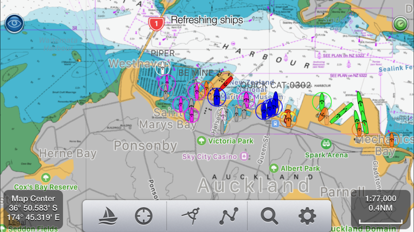
Zoom right in to get fantastic detail on the charts. Here’s the marina in Auckland with live AIS ship positions overlaid:-
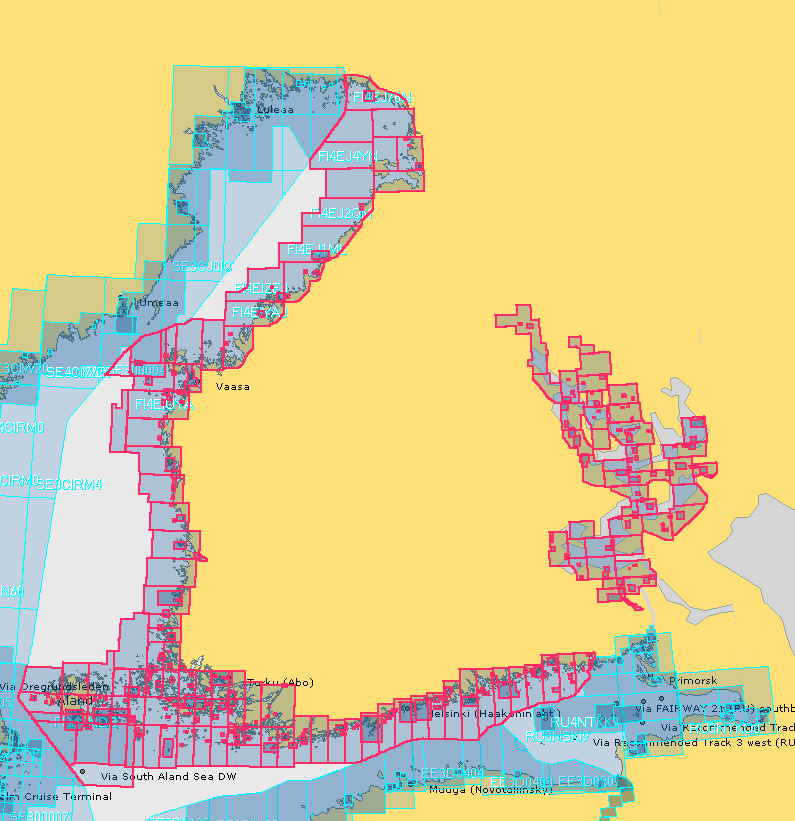
Here is Finland showing the chart coverage (outlined in red):-
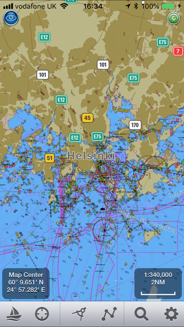
and here is Helsinki zoomed in about half way:-
And zoomed close in at the beautiful 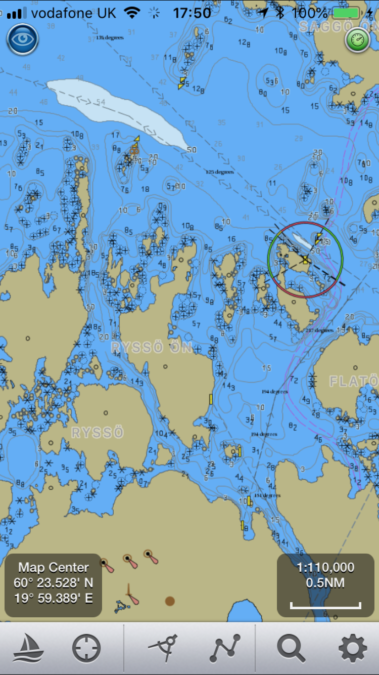 Aaland islands between Finland and Sweden
You can find the new raster charts listed under SeaNav/Settings/SeaNav Chart Store in the new “Raster section at the bottom”. A yearly subscription also provides ongoing chart updates from the Finnish and New Zealand Hydrographic offices. Get SeaNav for free from the app store and download the new chart IAPs now:-https://itunes.apple.com/app/seanav/id857841271
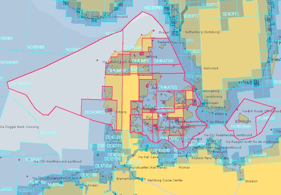
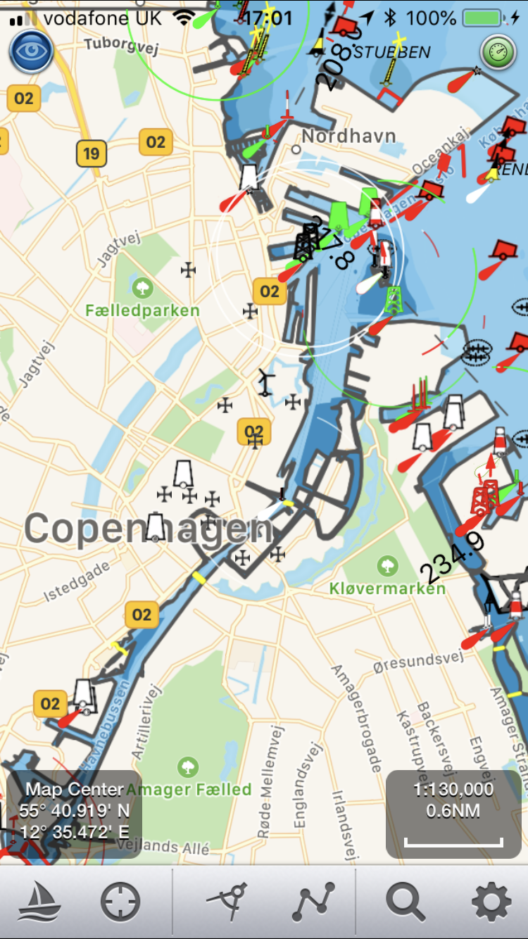
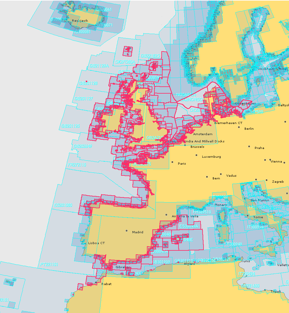
 SeaNav now has UK, IE, NL, BE, FR, DE, ES, US and CA charts available with complete coverage across the English Channel and we now have continuous coverage from Nantes in France through Belgium and the Netherlands, across Denmark and Germany including the German inland waterways. Current European chart coverage is outlined in red below.