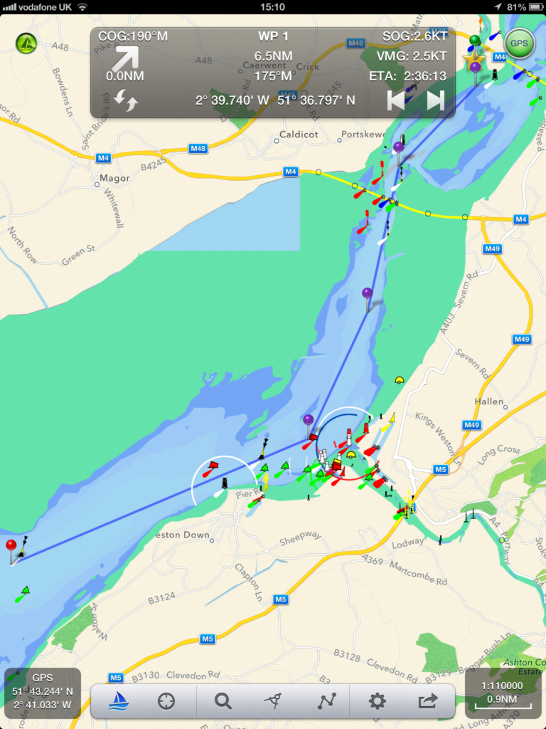
We are excited to announce the release of our next nautical navigation app – SeaNav®
SeaNav ® lets you explore, plan and navigate your boating trips in real time and outstanding high-resolution using the latest Digital Vector Marine charts covering the US & Great Lakes or UK and Ireland.
- Route Planning and real time tracking including Waypoints, SOG, COG, ETA, CTE etc.
- Route and Track export, import and sharing.
- Charts downloaded and stored on device so they work without mobile coverage!
- Seamless fast panning and zooming across charts.
- Live AIS Ship positions overlaid from Boat Beacon app.
- Configurable layers; buoys, lights, depths, rocks, wrecks, anchorage areas etc.
- Automatic Chart updates.
Buy once and use on both your iPhone and iPad devices. SeaNav works in high-resolution on your iPad and iPhone without having to buy an additional HD version.
SeaNav has two versions, SeaNav US which uses NOAA charts and provides complete coverage of USA and Great Lakes.SeaNav UK uses UKHO charts, and offers complete coverage for UK and Ireland. Both versions are available from the App Store on your iPhone or iPad.

