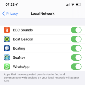
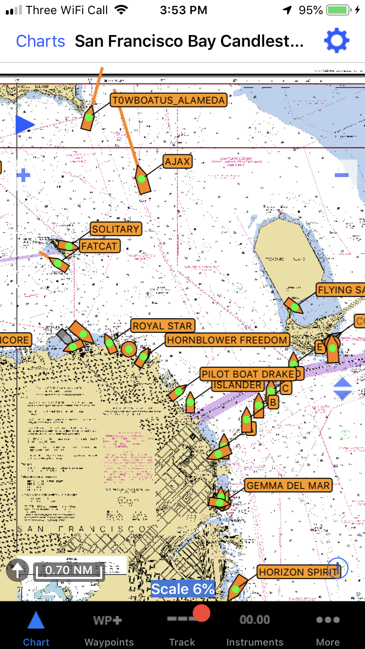
View realtime AIS on your boat’s Multifunction Display (MFD) without an AIS receiver and aerial or improve and extend your local VHF AIS reception with over the horizon and “instant on”* internet AIS. Boat Beacon can share its real time internet AIS data via Wifi and NMEA2000 (or 0183) to MFDs like Garmin, SIMRAD/B&G/Lowrance and Raymarine.
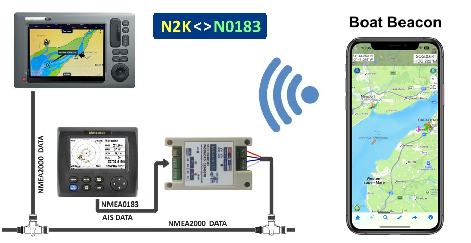
We used the plug and play and inexpensive N2K0183 adapter for this demo. Other NMEA2000 wireless servers like the DigitalYacht NAVLINK2 , Quark-Elec, Actisense etc. will also work with Boat Beacon’s AIS Share.
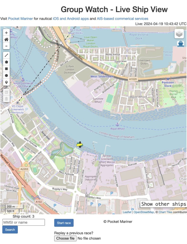
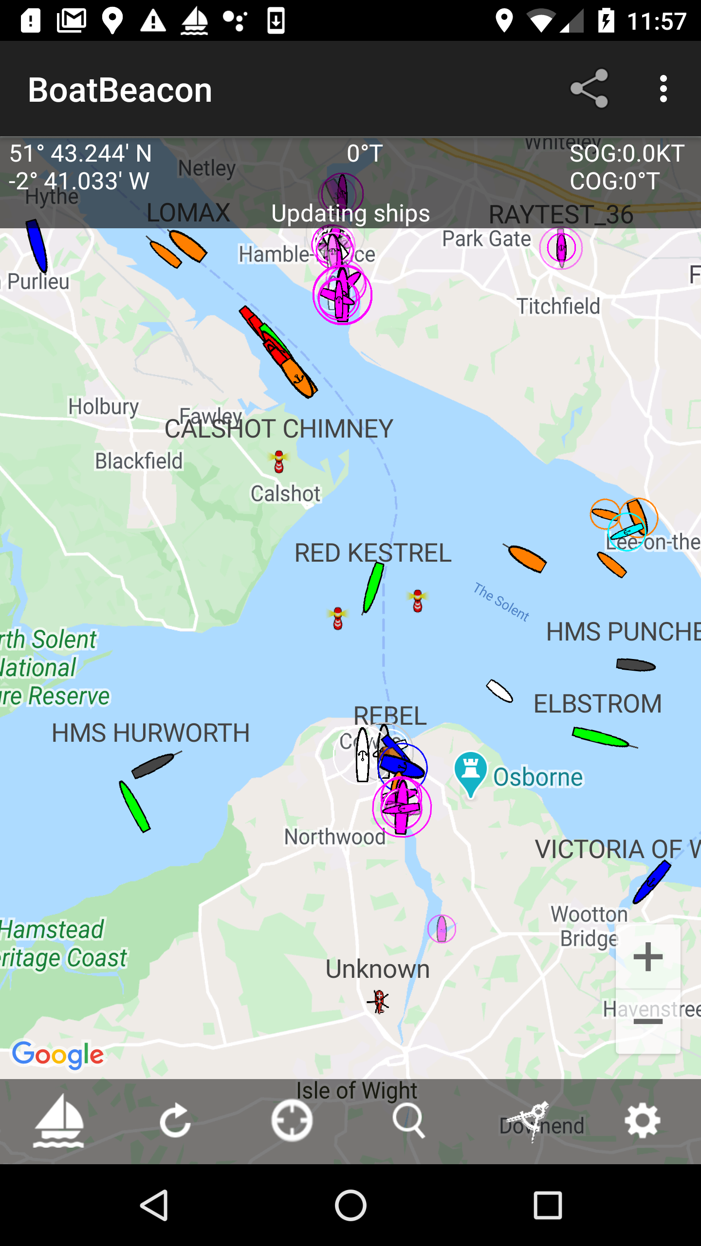
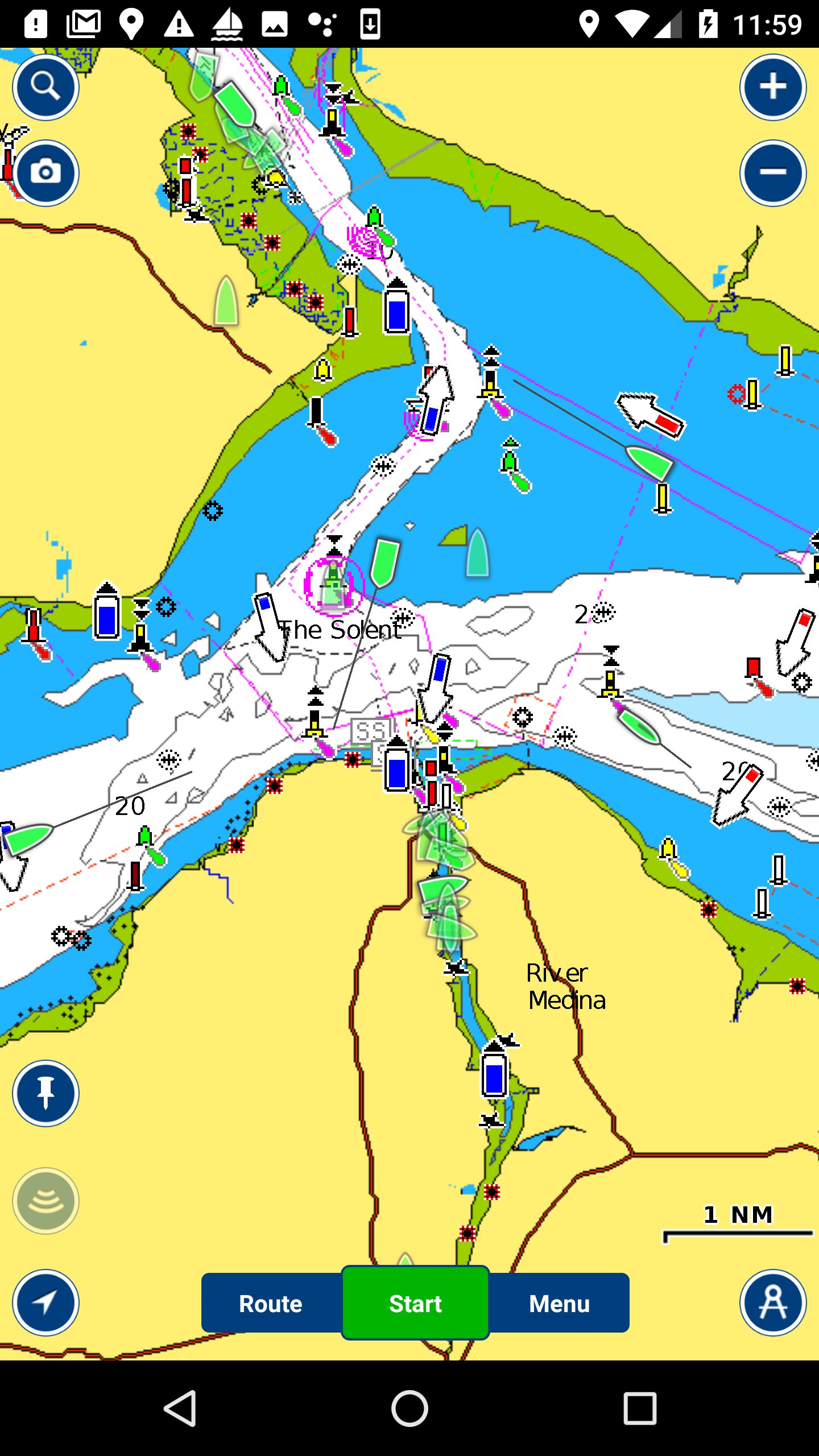
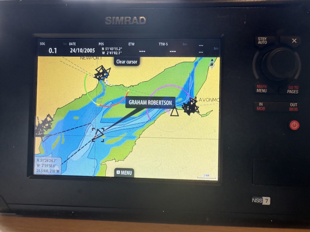
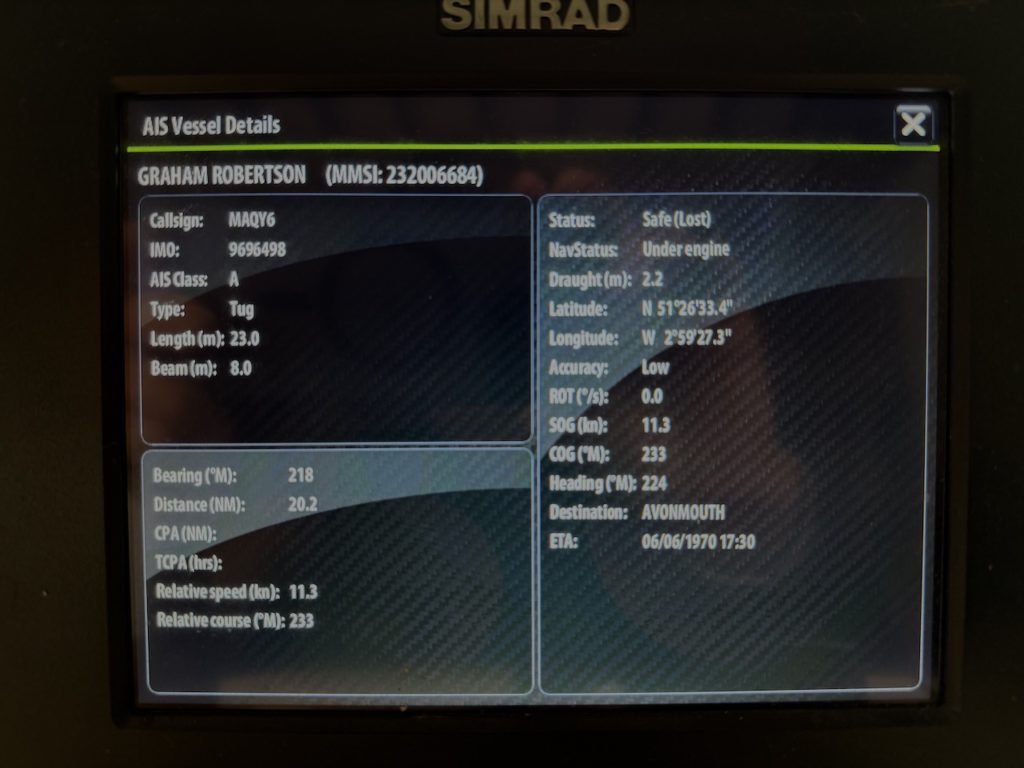
Here is Boat Beacon on an iPhone using Wifi to send its live AIS data to a SIMRAD NSS MFD over NMEA2000 via the N2K0183 adapter.
Here’s how to configure the N2K0183 device with Boat Beacon running on iOS. (Android instructions here). The Boat Beacon AIS data will be received via cellular and sent out over the boat’s NMEA2000 network. You will need the Boat Beacon AIS Share feature enabled (demo mode or IAP). Also make sure you have the latest firmware for the N2K0183 – v2.8 or later. N2K0183V28.BIN (July 2025)
Connect the N2K0183 to the boat’s NMEA2000 network.
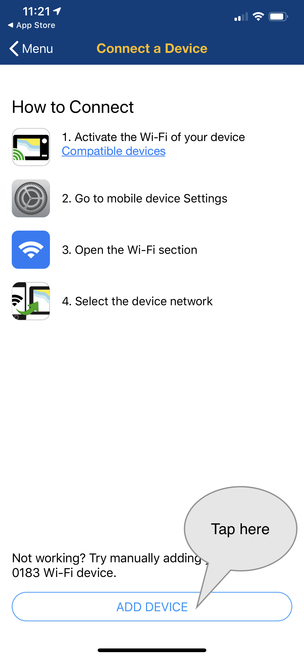
Next connect your iPhone to the N2K0183’s Wifi network (SSID N2K0183 password 12345678) and use Safari or Chrome on your iPhone to browse to http://192.168.4.1 to view its setting page.
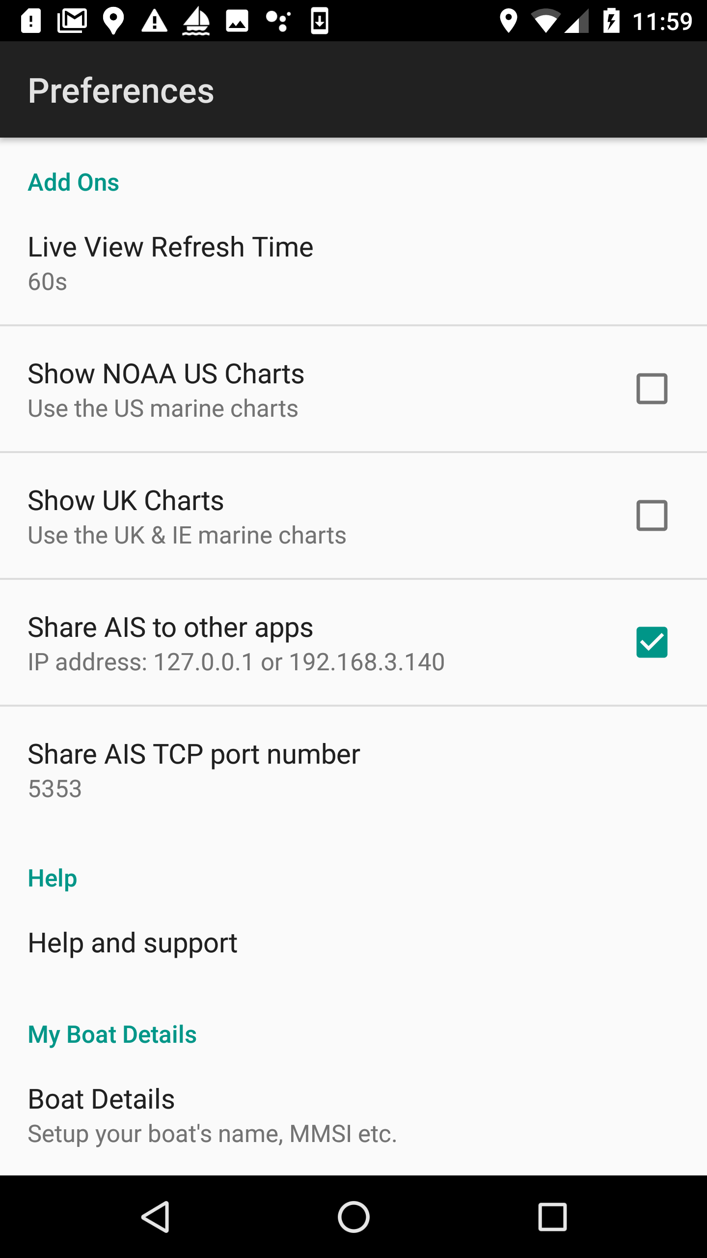
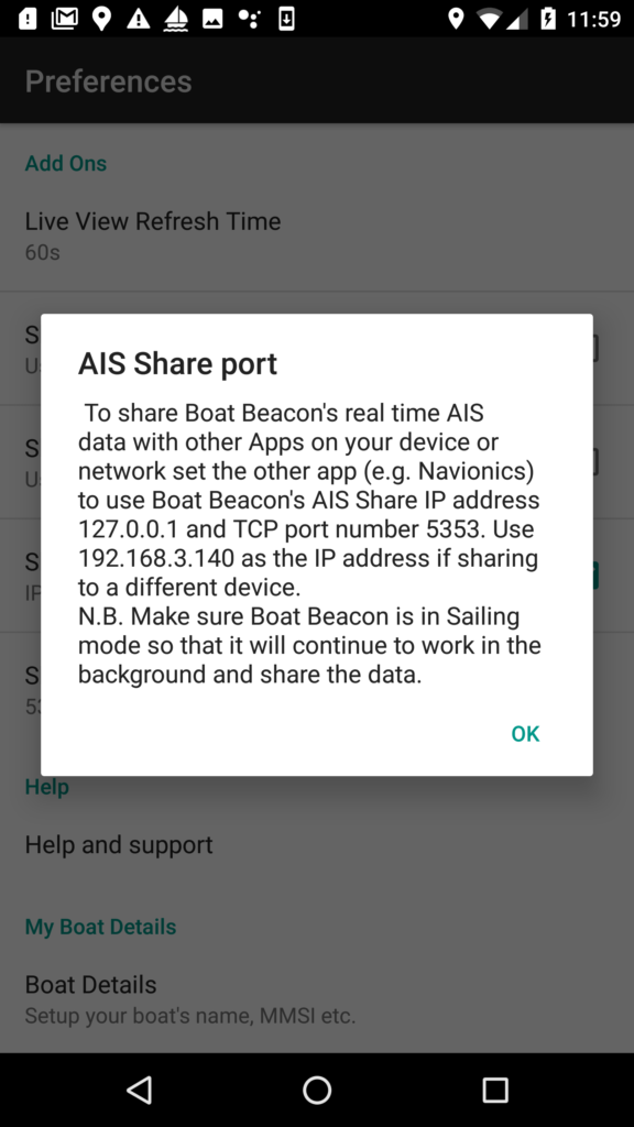
Set the WIFI ports settings TCP to 2001 and check the TCP to N2K checkbox.
IMPORTANT: If you are using the N2K0183 in “USE N2K0183 AP ONLY” mode, which is the default, you need to change the SSID (top left of the settings page ) to N2K0183:NG.
Using N2K0183:NG as the SSID lets iOS know it cannot use the N2K0183 Wifi connection for internet data. It ensures the iPhone/iPad will still use its cellular connection to connect to the internet and fetch AIS data etc.
Finally tap the blue SET button to set the configuration.
If you have changed the SSID you will need to search and reconnect the iPhone to the new SSID (e.g. N2K0183:NG )Wifi network.
N.B. If you don’t have NMEA2000 on board and want to use and output NMEA0183 check the TCP to P2 checkbox on the N2K0183 and set the Serial Ports Settings for P2> to 38400.
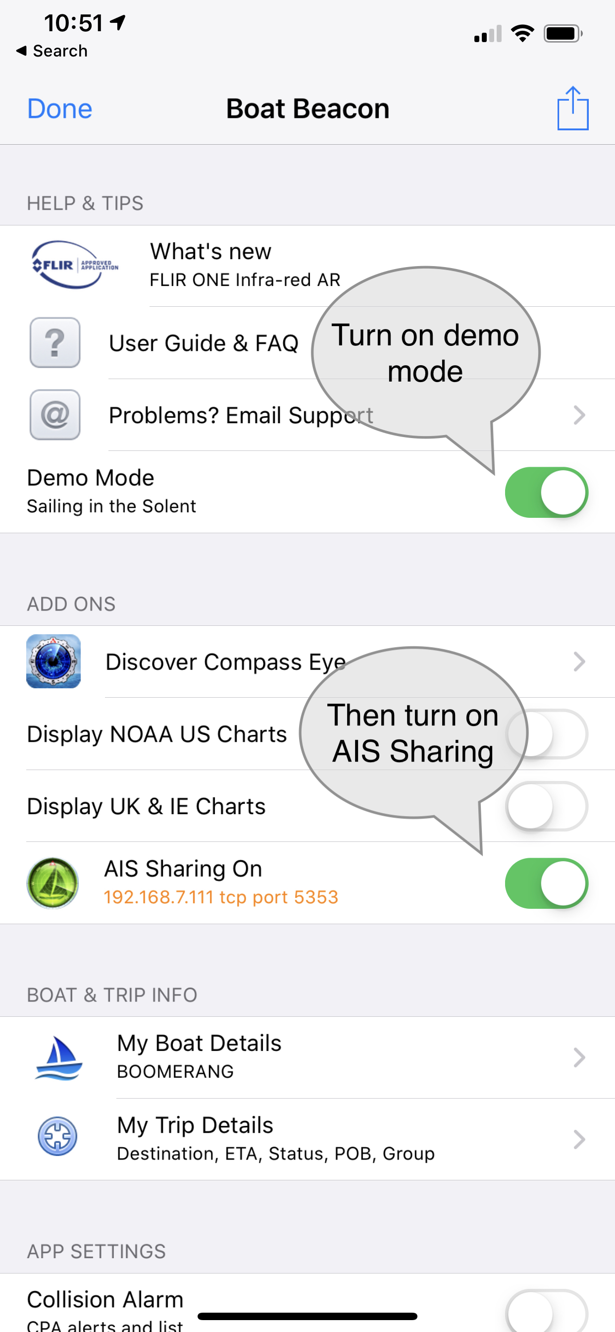
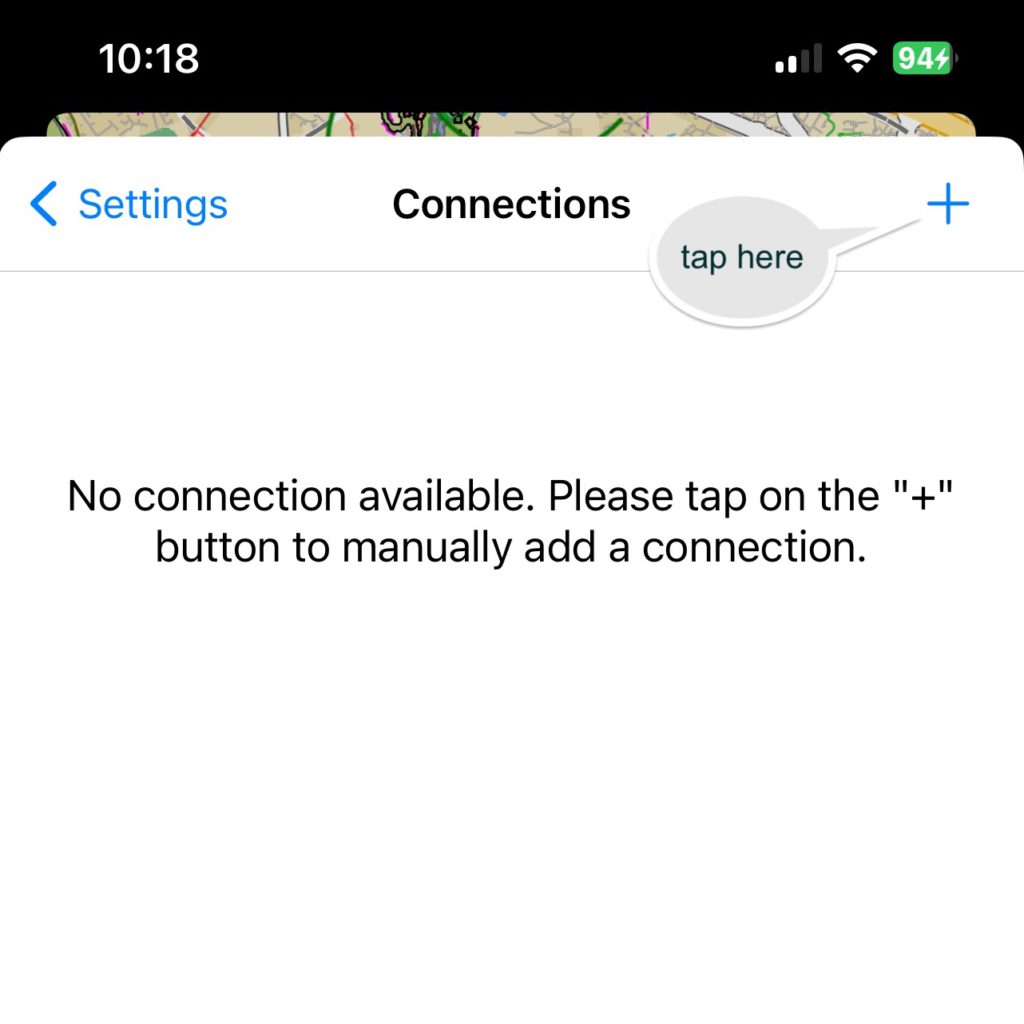
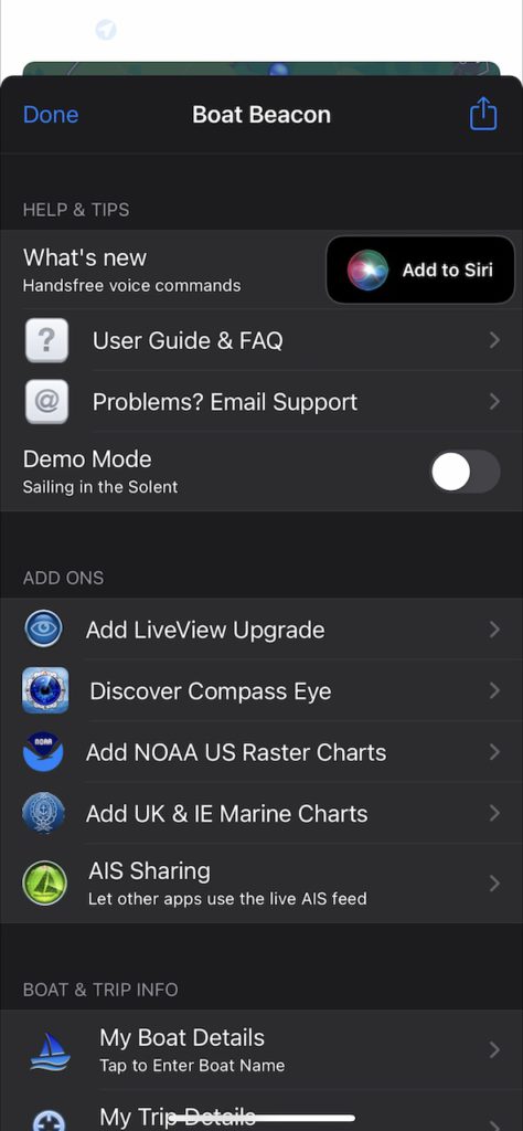
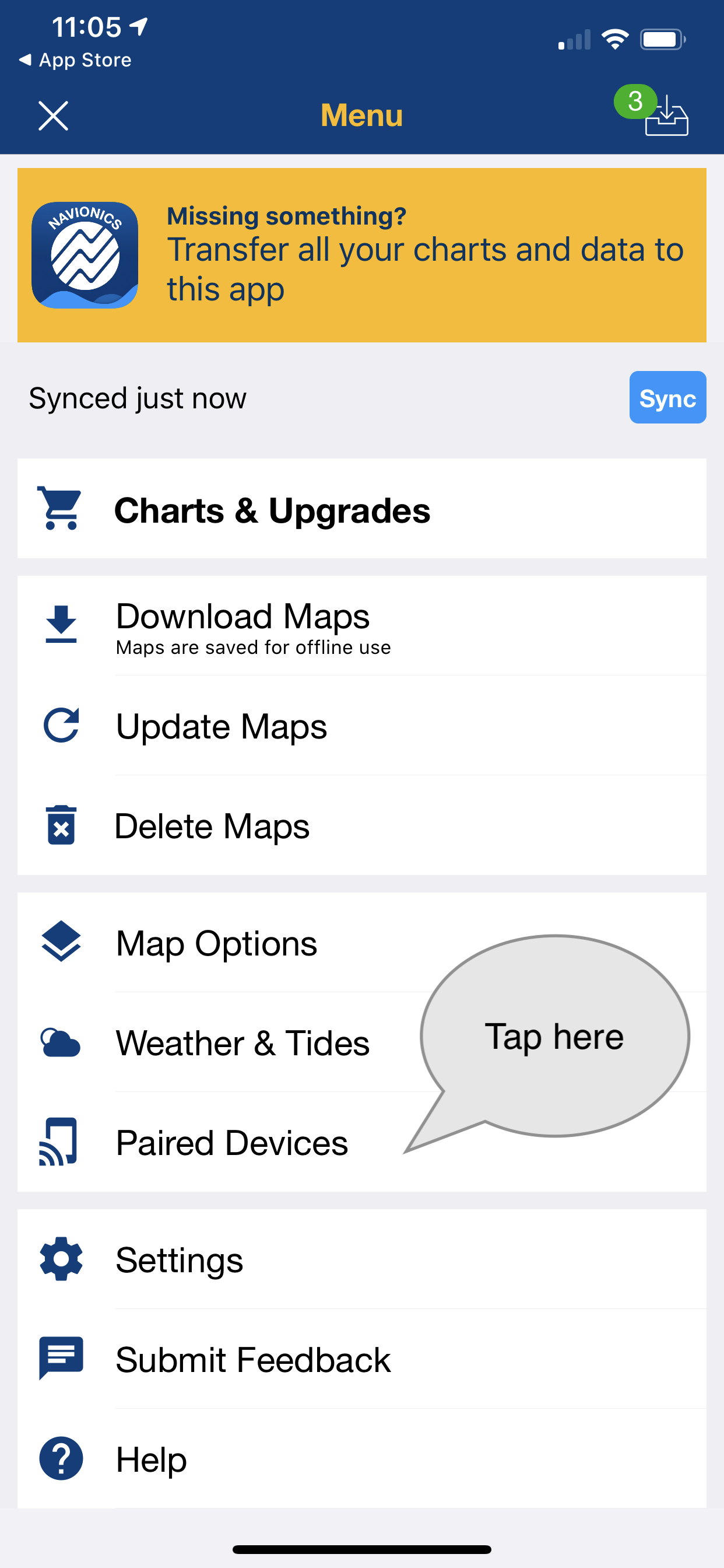
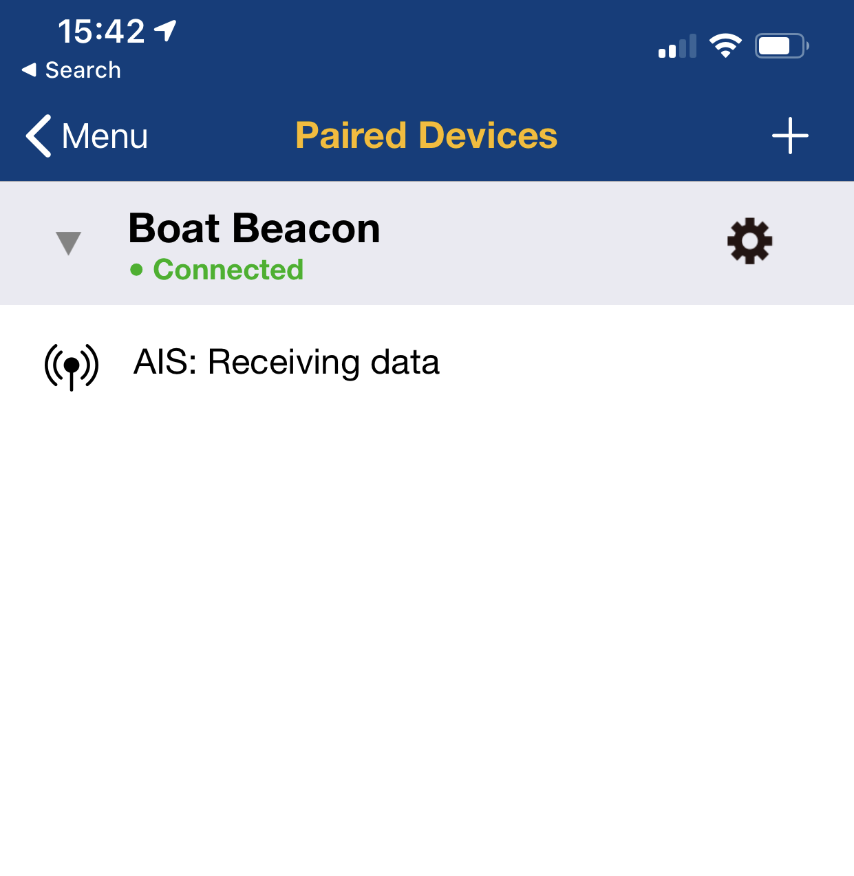
Now launch Boat Beacon and go to Settings. Make sure AIS Sharing is On ( requires demo mode or an IAP) . Next tap the AIS & GPS Link row to configure the connection to the N2K0183.
Set the port to 2001, the Host to 192.168.4.1 and the switch to tx
Then tap Start and you should start to see live AIS data being sent.
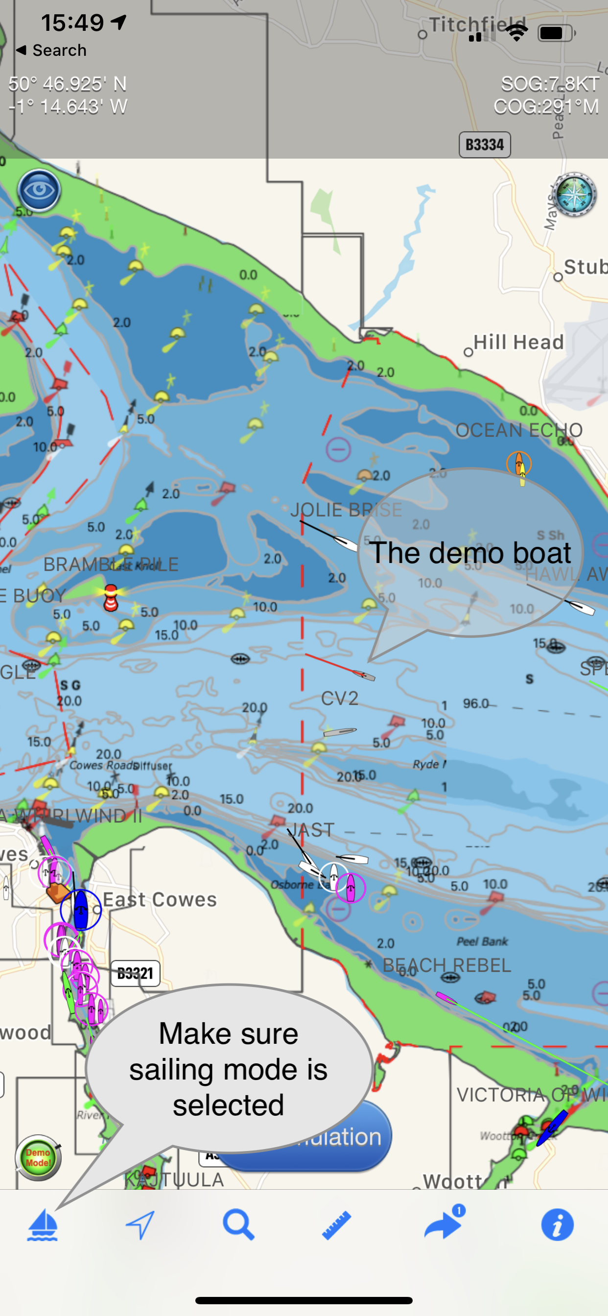
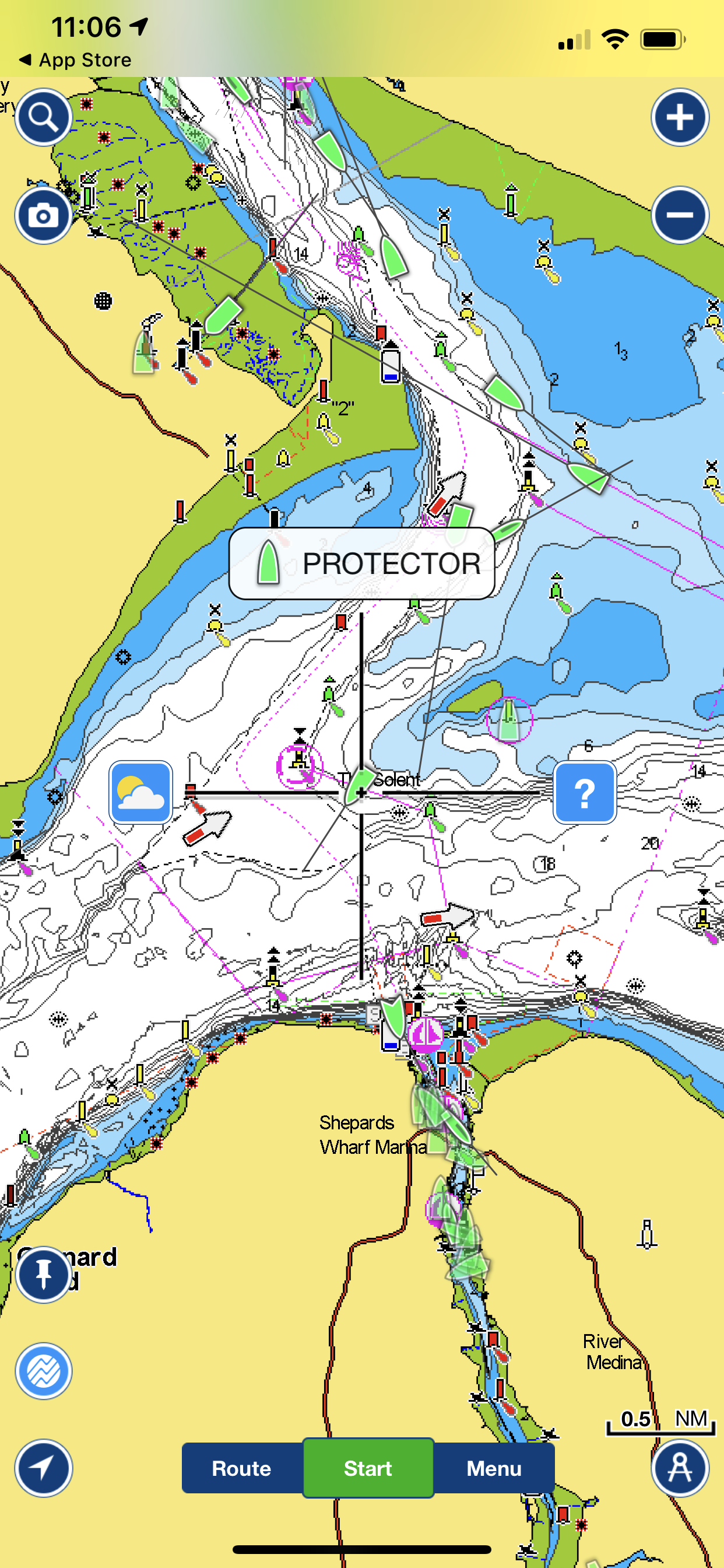
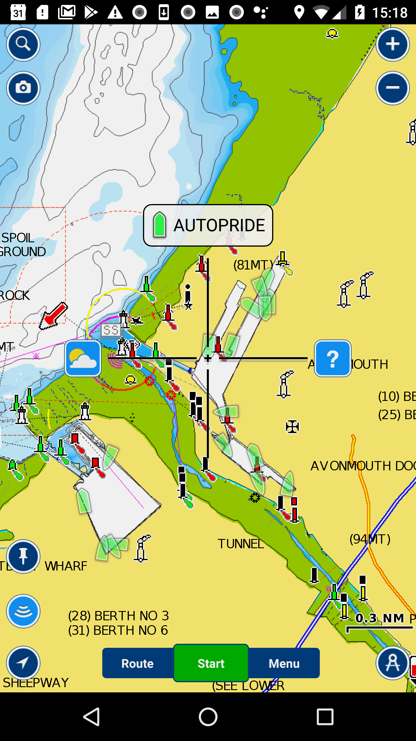
Make sure Boat Beacon is set to Sailing mode so that it keeps transmitting even when in background (e.g. screen off). Now check your MFD display connected to the NMEA2000 network and see the live ship positions around you.
If you have a WiFi network on board with internet both Boat Beacon and the N2K0183 can connect via that instead so that Boat Beacon can use that connection instead of your iPhone’s cellular data. Configure the N2K0183 to connect to the boat’s Wifi network ( set the SSID and password and set mode to “ALSO CONNECT TO EXTERNAL”. Then tap the blue “SET” button. The N2K0183 will restart and get an IP address on the Boat’s Wifi network. Note this IP address, it is displayed just under the N2K<>N0183 banner (e.g. 192.168.1.173 – you can still connect to the N2KNMEA via 192.168.4.1 if you want or need to).
With your iPhone connected to the same boat’s Wifi network (e.g. STARLINK) set Boat Beacon’s AIS & GPS Link to send to the N2K0183’s boat’s wifi IP address instead of 192.168.4.1 (e.g. 192.168.1.173) and then tap Start.
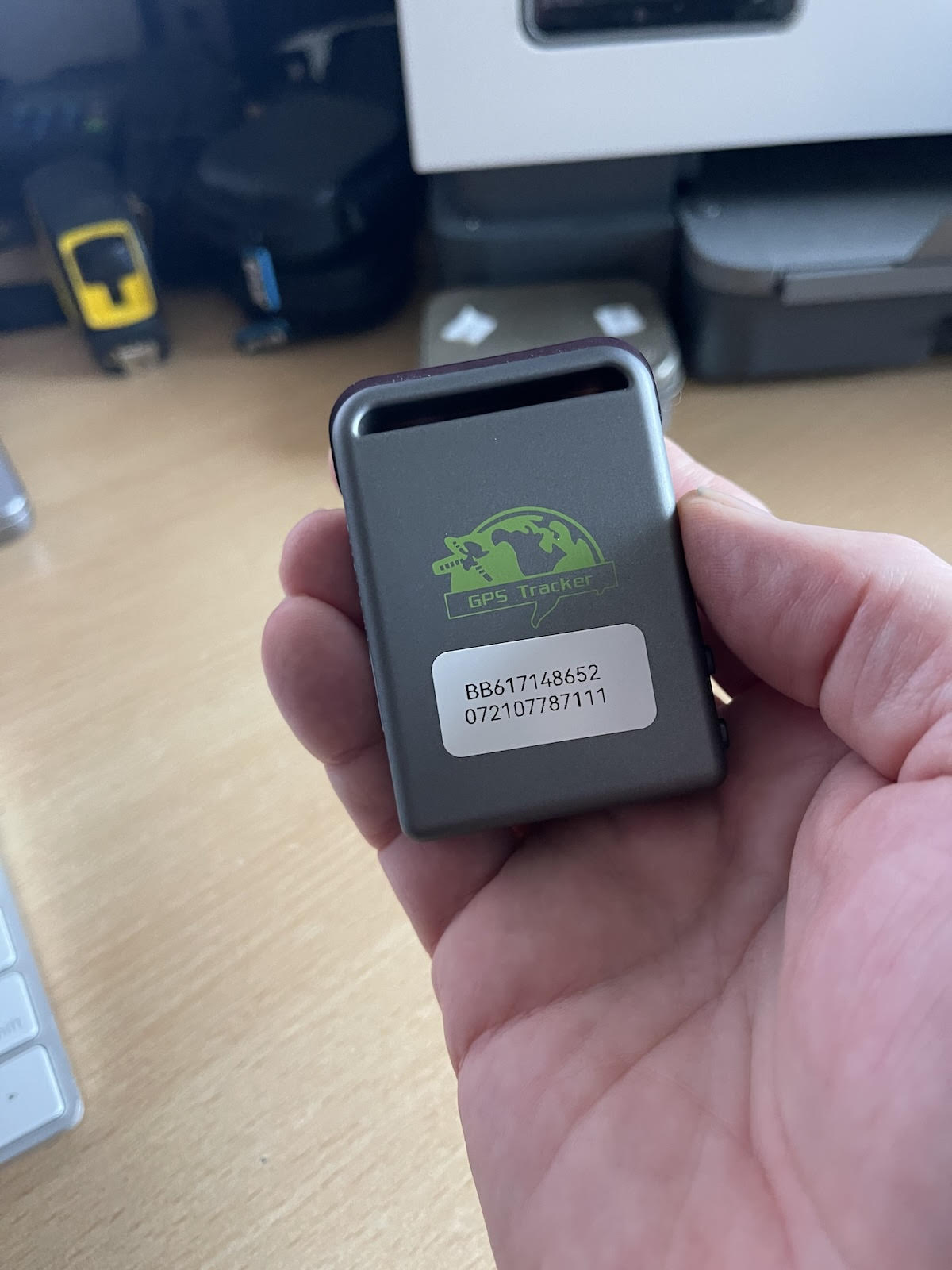
You can purchase the N2K0183 NMEA2000 Wifi gateway from here. Other NMEA2000 wireless servers like the DigitalYacht NAVLINK2 , Quark-Elec, Actisense etc. will also work with Boat Beacon to share its live AIS data to your MFD.
*”Instant on” refers to the instant static ship data ( name, type, size etc.) that you get with Boat Beacon’s internet AIS feed whereas with VHF AIS it can take up to 6 minutes to receive a vessels static message and view the info.