As part of our regular chart updating the latest set of the US NOAA charts is now available for our SeaNav US apps.
There are over 40 new charts including new detailed coverage for the whole of Lake Champlain in VT (much requested) , Lake Mead and Lake Tahoe in CA, The St Lawrence river up to Brockville in NY and several new approach scale (5) maps for areas in the Great Lakes (MI).
Here is a screenshot of the new Lake Champlain chart around Burlington.

The full list of new charts is given below with their name, update date and NOAA ENC Chart number:-
Goodnews Bay, 2014-03-31|US4AK84M
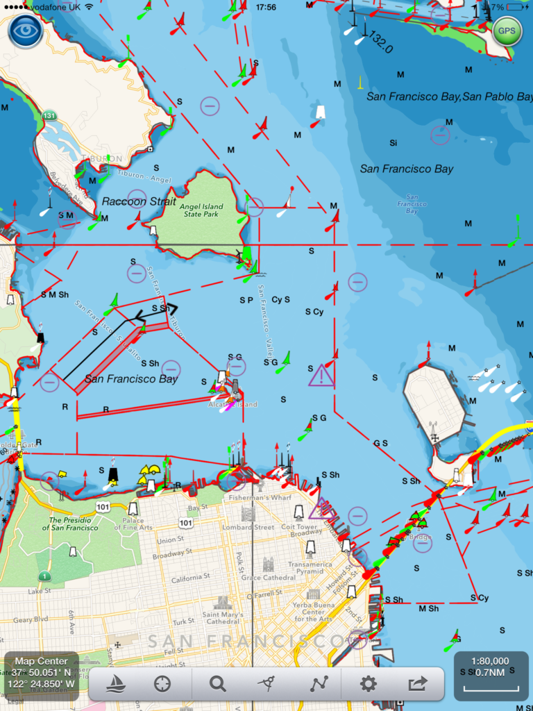
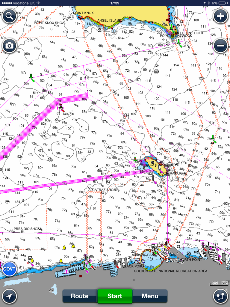
San Francisco Bay to Antioch, 2014-06-06|US4CA17M
Gambier Bay, Stephens Passage, 2014-01-02|US5AK0BM
Bay of Pillars and Rowan Bay, Chatham Strait;Washington Bay, Chatham Strait, 2014-05-05|US5AK0FM
Southern Entrances to Sumner Strait, 2014-03-20|US5AK41M
San Christoval Channel to Cape Lynch, 2014-03-18|US5AK44M
Foggy Bay and Ryus Bay, 2014-03-13|US5AK49M
Northern part of Tlevak Strait and Uloa Channel, 2014-03-31|US5AK4DM
N. end of Cordova Bay and Hetta Inlet, 2014-05-08|US5AK4IM
Harbor Charts-Clarence Strait and Behm Canal Dewey Anchorage, Etolin Island;Ratz Harbor, Prince of Wales Island;Naha Bay, Revillagigedo Island;Tolstoi and Thorne Bays, Prince of Wales ls.;Union Bay, Cleveland Peninsula, 2014-05-28|US5AK4OM
Alitak Bay-Cape Alitak to Moser Bay, 2014-04-01|US5AK5MM
Bays and Anchorages, Kodiak Island Karluk Anchorage;Larsen Bay;Uyak Anchorage, 2014-05-27|US5AK5SM
Rockport Landing and Shelter Cove, 2014-03-07|US5CA15M
San Francisco Bay to Antioch, 2014-04-11|US5CA17M
Half Moon Bay, 2014-02-24|US5CA53M
El Segundo and Approaches, 2014-05-15|US5CA59M
Santa Monica Bay;King Harbor2014-04-11, 2014-05-15|US5CA63M
Santa Cruz Channel, 2014-03-27|US5CA66M
Anacapa Passage;Prisoners Harbor, 2014-03-18|US5CA67M
Trinidad Harbor, 2014-02-06|US5CA91M
Albion to Caspar, 2014-01-30|US5CA93M
Cape Mendocino and vicinity, 2014-03-04, 2014-05-22|US5CA95M
Bodega and Tomales Bays;Bodega Harbor, 2014-05-29|US5CA96M
Drakes Bay, 2014-04-17|US5CA97M
Lake Tahoe, 2014-05-12|US5CA98M
Lake Mead, 2014-04-08, 2014-05-27|US5CA99M
Suisun Bay Middle Ground to New York Slough, 2014-01-29|US5CA9AM
Ossabaw and St. Catherines Sounds , 2014-04-10, 2014-06-05|US5GA16M
St Marys River – Vicinity of Neebish Island, 2014-02-10|US5MI50M
Stoneport Harbor and Presque Isle Harbor, 2014-03-04|US5MI66M
South Haven;Port Sheldon;Saugatuck Harbor, 2014-01-30|US5MI89M
Morristown, N.Y. to Butternut, Ont., 2014-01-17|US5NY61M
Butternut Bay, Ont., to Ironsides l., N.Y., 2014-01-17|US5NY62M
Ironsides l., N.Y., to Bingham l., Ont., 2014-01-17|US5NY63M
Gananoque, Ont., to St. Lawrence Park. N.Y., 2014-01-17|US5NY64M
Round I., N.Y., and Gananoque, Ont., to Wolfe I., Ont, 2014-01-29|US5NY65M
Las Mareas, 2014-02-07|US5PR41M
Port Royal Sound and Inland Passages, 2014-04-10|US5SC21M
Riviere Richelieu to South Hero Island, 2014-05-01|US5VT01M
Cumberland Head to Four Brothers Islands, 2014-05-01|US5VT02M
Four Brothers Islands to Barber Point, 2014-05-01|US5VT03M
Barber Point to Whitehall, 2014-05-01|US5VT04M
Burlington Harbor, 2014-05-01|US5VT05M

