New AIS Aerial in the Caribbean on St Barts

Our latest AIS aerial  on St Barthelemy in the Caribbean has just gone live. If only I could go out and test it! Thanks to Emmanuel at Jicky Marine Service

http://boatbeaconapp.com/station/7017

Screen Shot 2015-03-25 at 16.07.12


Our AIS aerial on top of Jicky Marine Service’s office.

FullSizeRender (3)


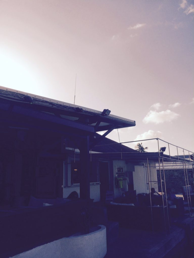
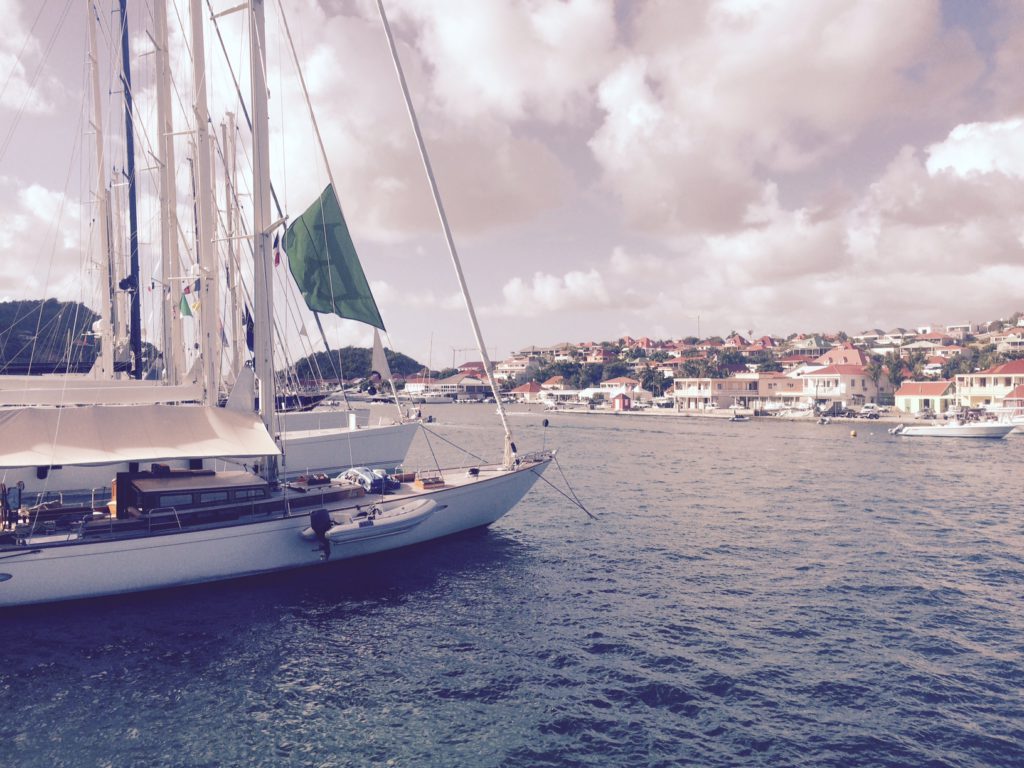
Jicky Marine’s office from the other side of the Harbour


FullSizeRender (4)


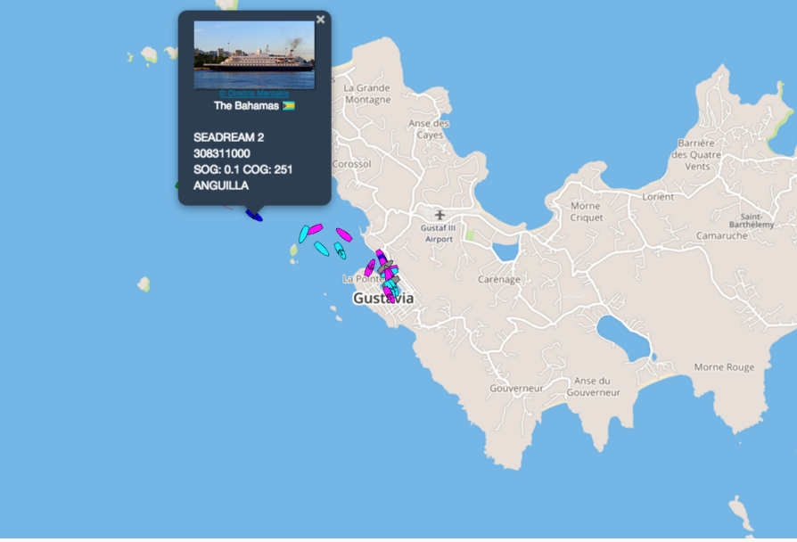
Plan of Gustavia  looking from the land side out to sea (North is bottom right) showing the office location.


SeaNav now has official Canadian Marine charts

SeaNav now has official Canadian charts available provided  by the Canadian Hydrographic service (CHS) covering the whole of the Canadian coast and main inland waters. Includes the Northern parts of the Great lakes, St Lawrence River and Seaway, Vancouver and lots lots more. Before now this complete set of Canadian digital marine charts would have set you back a few thousand dollars. Now you can get them all via a $29.99 ( 34.99 CAD) In App Purchase (IAP) in both  our SeaNav US and SeaNav HD   apps for iPhone and iPad.

Here is a map showing the chart coverage (outlines in red). You can also check the coverage in our app before you purchase . The Canadian charts will be outlined in blue and marked with CA.

ca


Here is a screenshot of the new charts covering Vancouver – loads more detail when you zoom in 🙂

IMG_0325