SeaNav now has official Canadian charts available provided by the Canadian Hydrographic service (CHS) covering the whole of the Canadian coast and main inland waters. Includes the Northern parts of the Great lakes, St Lawrence River and Seaway, Vancouver and lots lots more. Before now this complete set of Canadian digital marine charts would have set you back a few thousand dollars. Now you can get them all via a $29.99 ( 34.99 CAD) In App Purchase (IAP) in both our SeaNav US and SeaNav HD apps for iPhone and iPad.
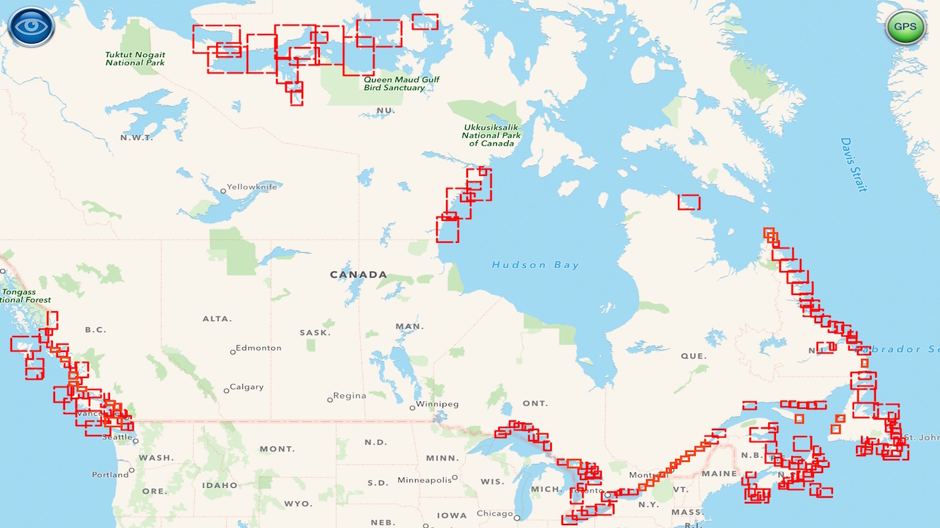
Here is a map showing the chart coverage (outlines in red). You can also check the coverage in our app before you purchase . The Canadian charts will be outlined in blue and marked with CA.
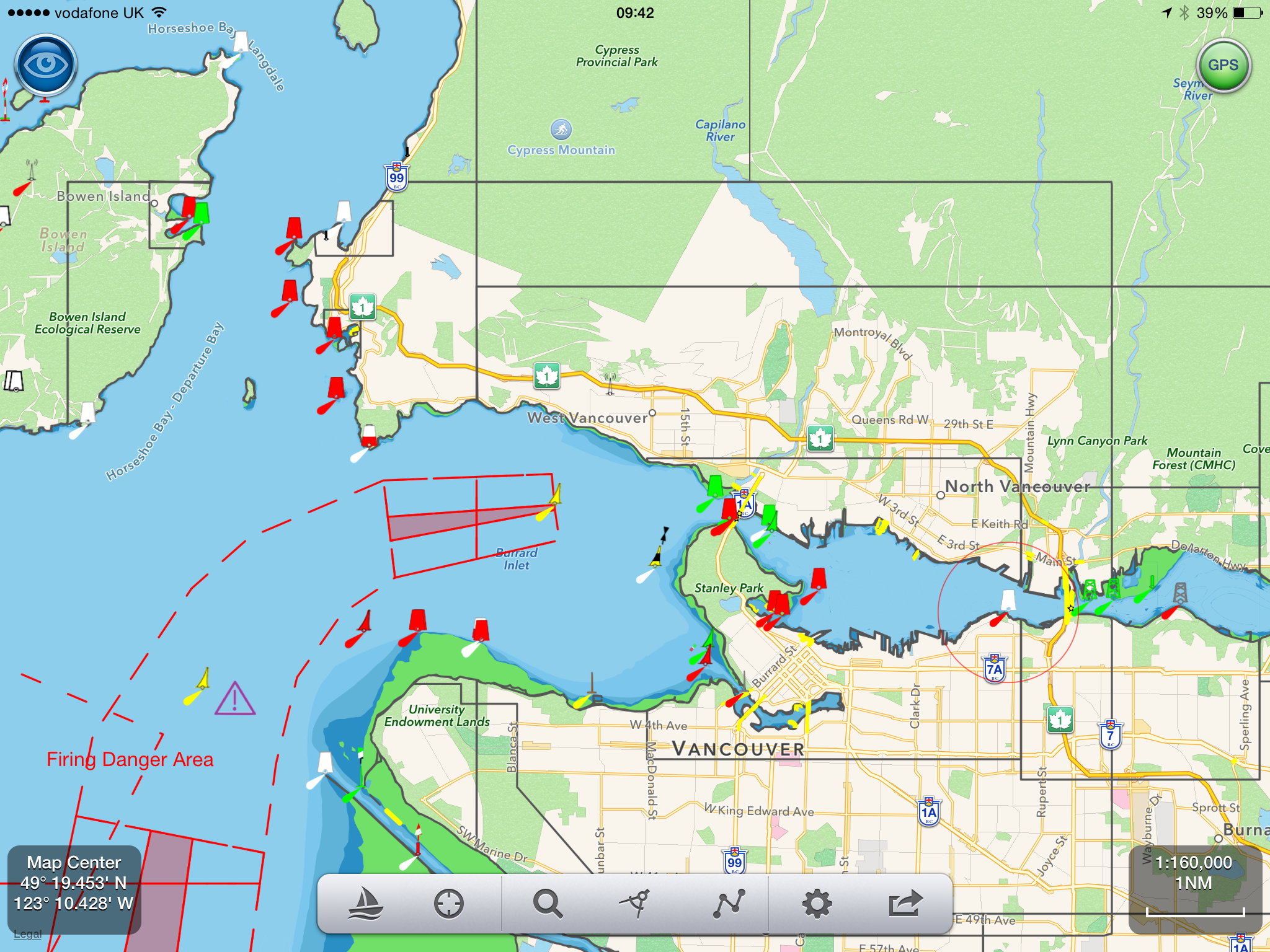
Here is a screenshot of the new charts covering Vancouver – loads more detail when you zoom in 🙂