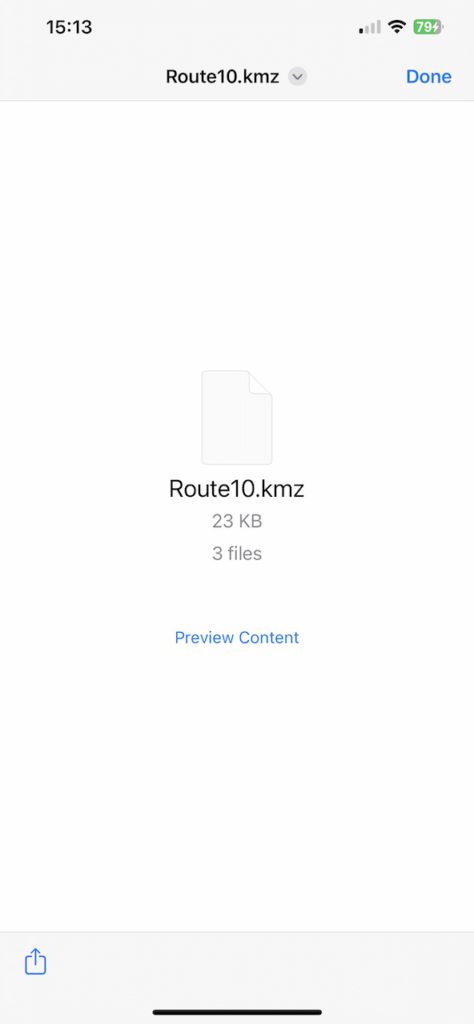

Notes on setting up AIS Sharing:
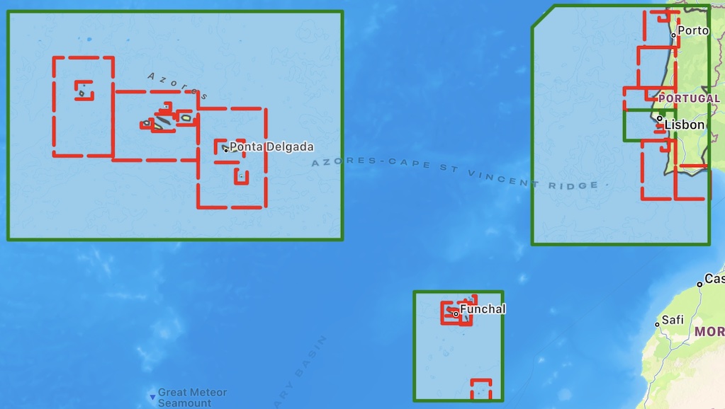
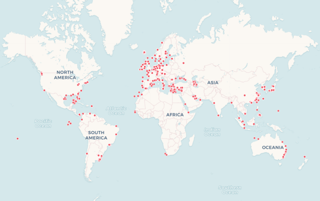
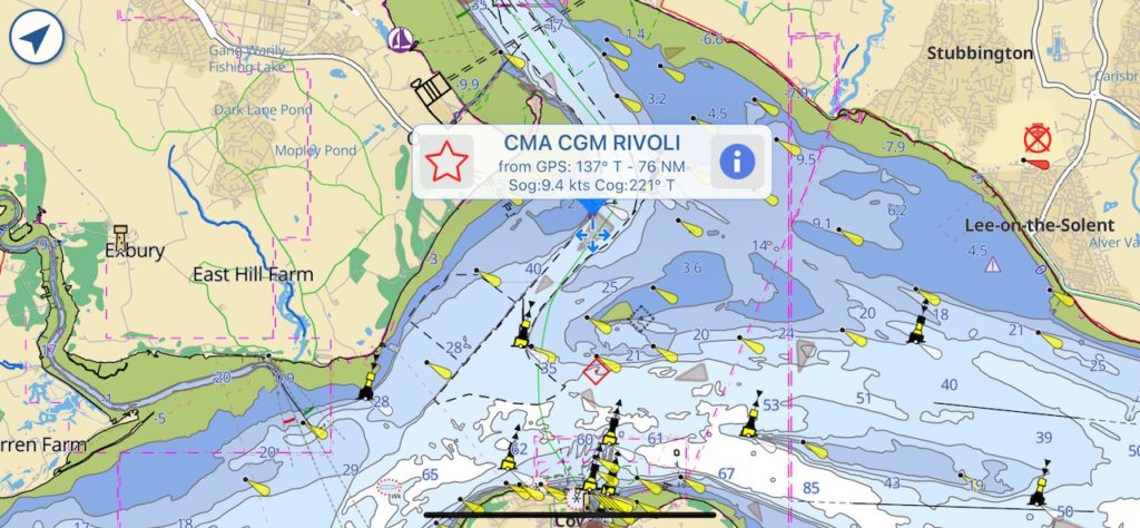
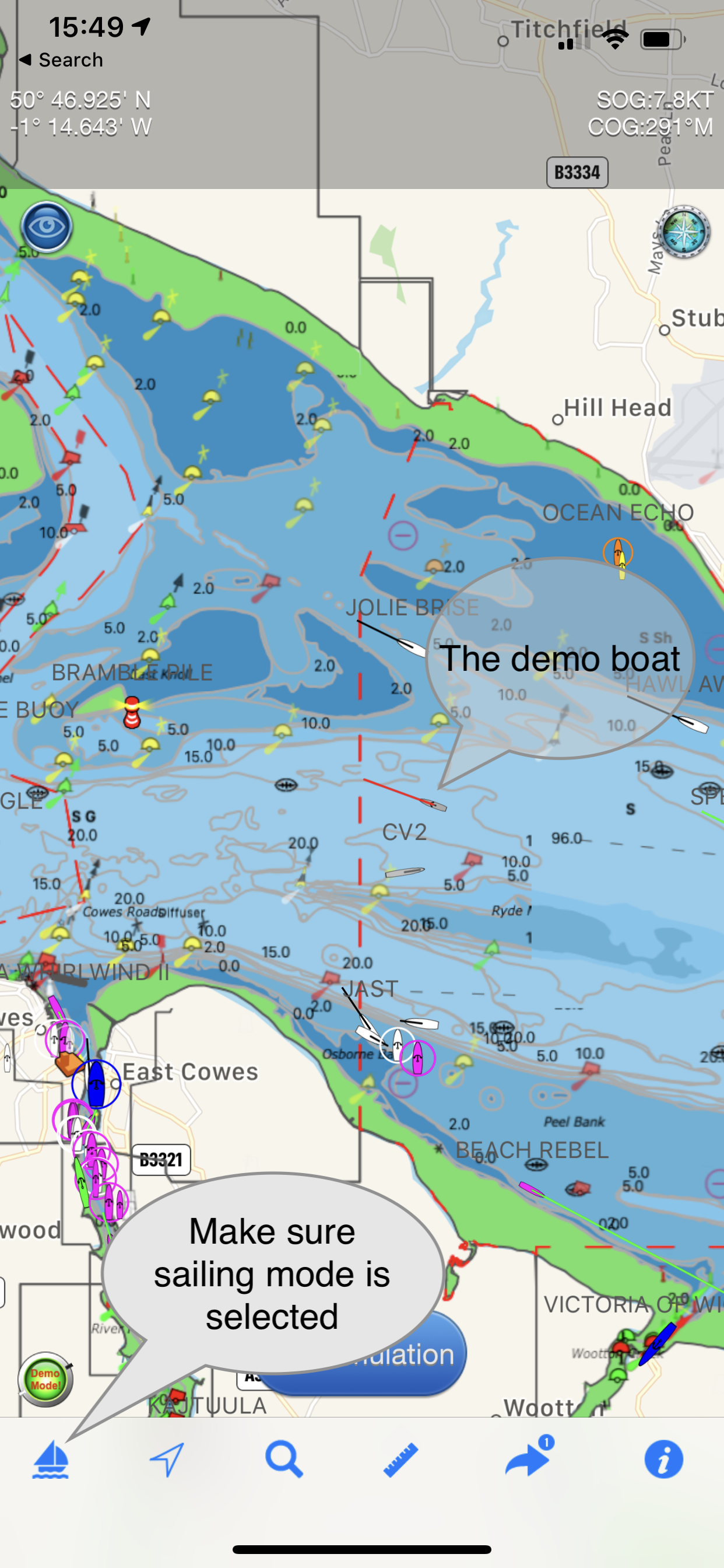
- When using Demo mode to try AIS Sharing out for free you have to position Aqua Map to the same location as Boat Beacon is simulating at – e.g. the Solent for EU, San Francisco for US, Lübecker Bucht for Germany and Sydney harbour for Australian users
-
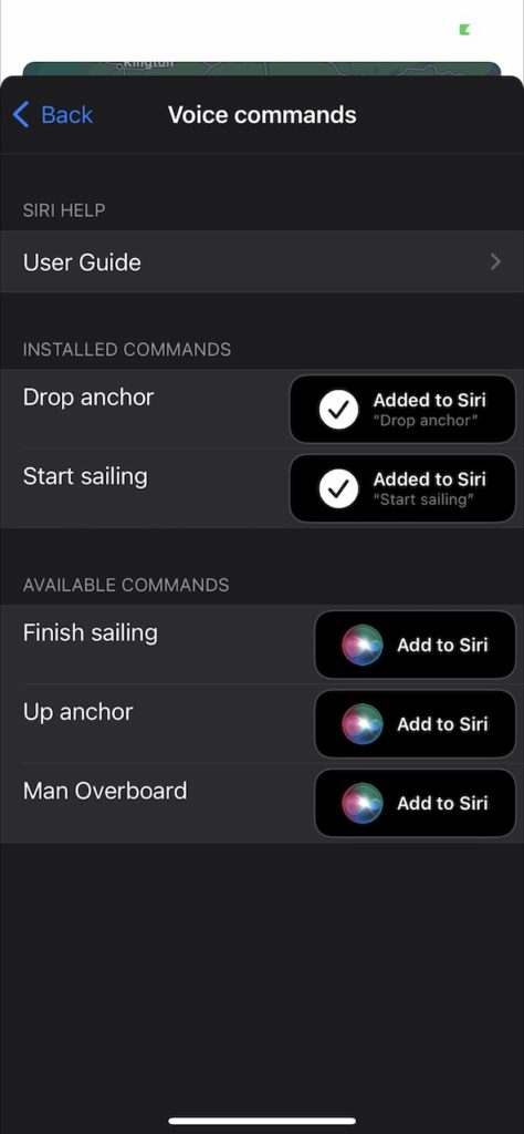
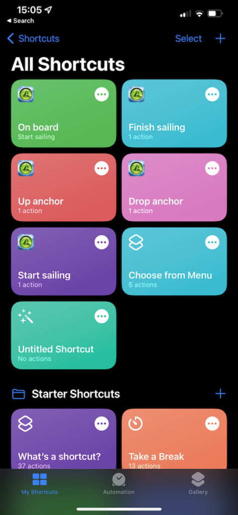
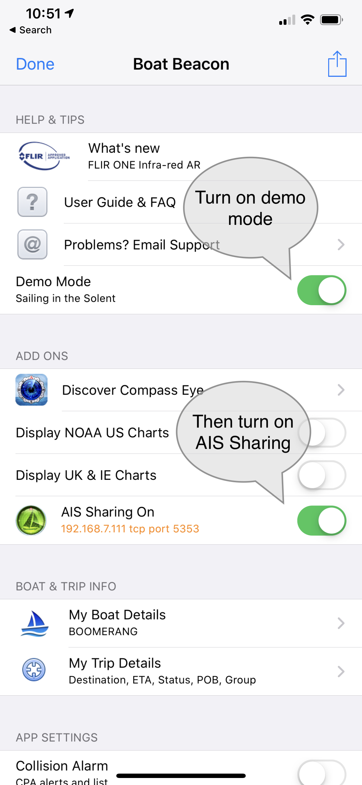
Boat Beacon must be in Sailing mode to maintain the AIS feed when it is in the background ( e.g. when you are viewing the Aqua Map chart) on your device.
- Make sure you have Location sharing for Boat Beacon set to “While using” in your device Privacy/Location settings. Please note Boat Beacon will only use your location when it is running ( foreground) or in the background when in Sailing mode.
- You do not need to have a WiFi connection to your device to use Boat Beacon and Aqua Map on the same device. While Aqua Map will run completely offline you must have an internet connection though (e.g. Cellular/Mobile) to receive Boat Beacon’s AIS data.
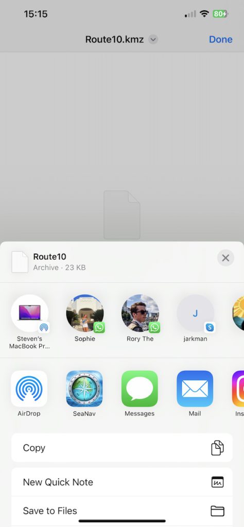
- You can share to Aqua Map on other devices too if they are on the same local WiFi network using the IP address shown in Boat Beacon’s AIS Sharing setting instead of 127.0.0.1 in the Aqua Map Connection setting.
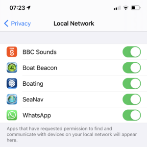
- iOS14 has introduced a new privacy permission if apps want to use local network resources which Aqua Map needs to have set to yes. The OS will prompt you the first time either app tries to use a connection. You can manually set/change the permission in your device’s Settings/Privacy/Local network.
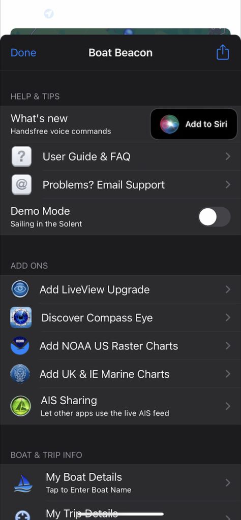
- Might sound obvious, but it has caught a couple of people out. You need to subscribe to the monthly or yearly Boat Beacon AIS Sharing feature via IAP ( tap the AIS Sharing row in Settings to bring up the IAP screen) to use Boat Beacon with Aqua Map when not in demo mode. Also Aqua Map needs their iAP (Master subscription) for using AIS and WiFi Connections.
- If you have any questions or problems getting it working please email us at help@pocketmariner.com
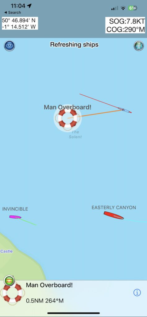
Collision Avoidance
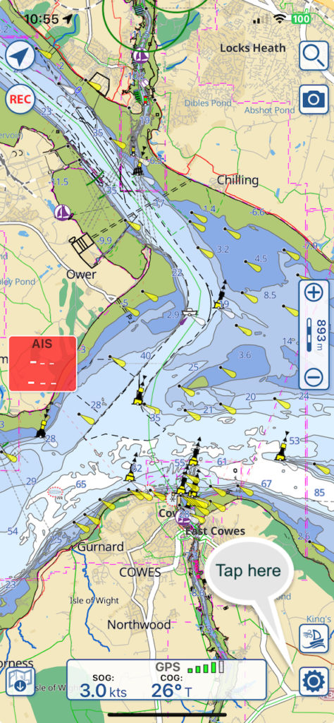
The primary purpose of AIS is monitoring and alerting for potential collisions. Boat Beacon’s AIS service has two key advantage, instant ship details and over the horizon detection ( out to 30NM). With VHF AIS only the MMSI number, position and speed appear initially and it can take up to 6 minutes for the ship names and type details to be received. With Boat Beacon the names, size and type are available instantly with position so you can call them up by name over VHF radio and check their intentions. VHF AIS receivers can only see as far as the visual horizon which is typically about 12NM whereas Boat Beacon’s multiple shore antennas at high elevation can provide coverage out to 30NM in popular areas.
Boat Beacon has configurable options for collision detection distance, time and alerting in Settings.
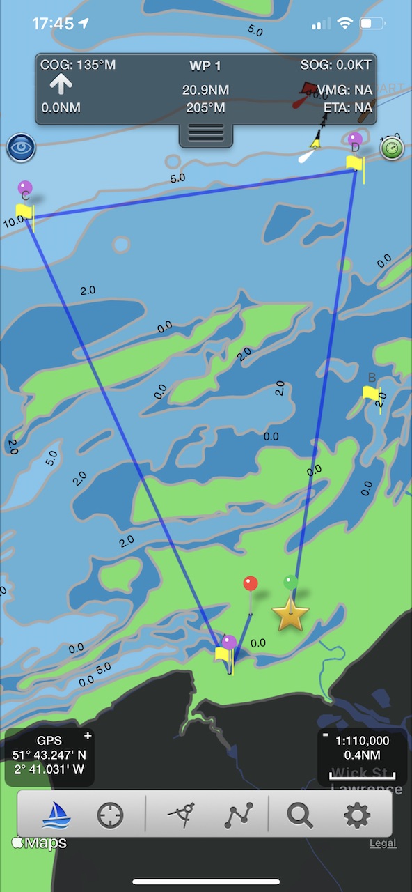
You can also configure collision avoidance alert parameters in Aqua Map’s settings:-
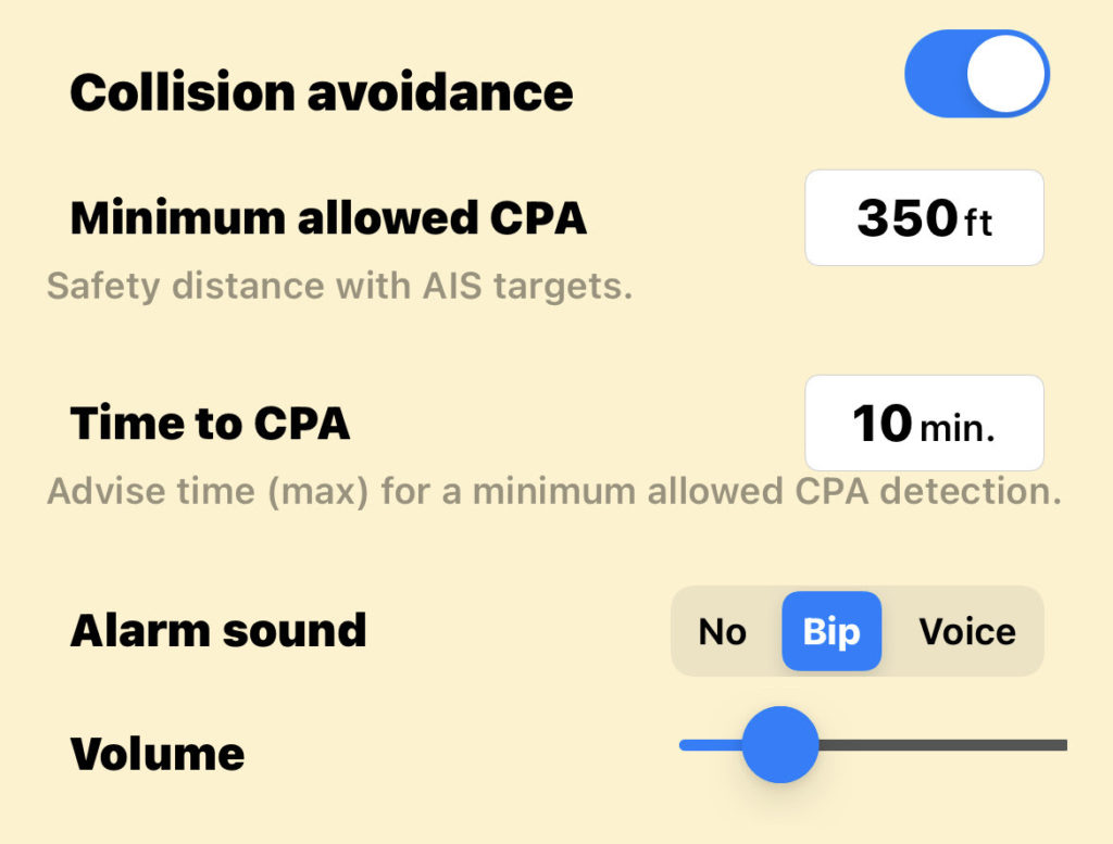
- Collision avoidance: to enable the alarms related to the Collision avoidance (red flashing color for the colliding targets, AIS box red flashing, sound alarms, …).
- Minimum allowed CPA: to select the CPA (Closest Point of Approach = minimal distance 2 boats will be if following same direction and speed) below which a target is considered colliding. This calculation is done for the time specified in the “Time to CPA” field. In the example above this means that an alarm will be fired if any boat will be closer that 350 ft to our boat in the next 10 minutes.
NOTE: the collision is calculated considering the GPS position received and a hypothetical boat size (size of the boat in AIS data is frequently unknown or unreliable). So for big boats this could lead to undetected collisions. - Time to CPA: to define the maximum time in the future for which you would search a possible collision.
- Alarm sound: to select the type of sound alarm you would receive each time a new collision is detected.
- Volume: to select the volume for the alarm sound you selected.