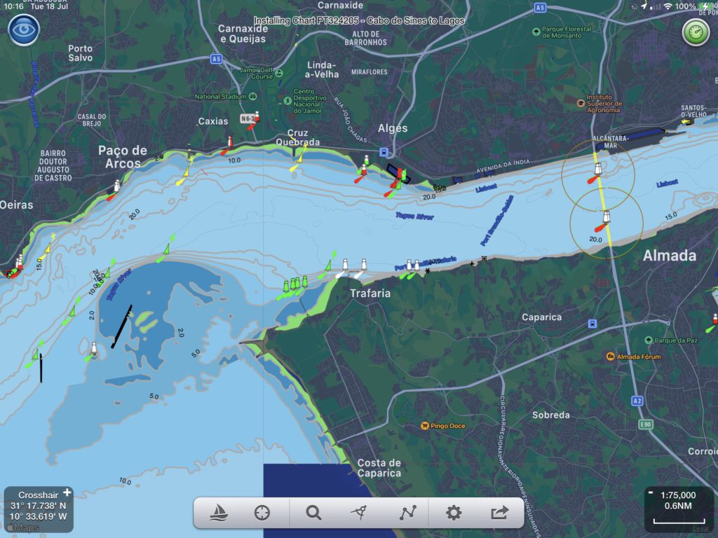
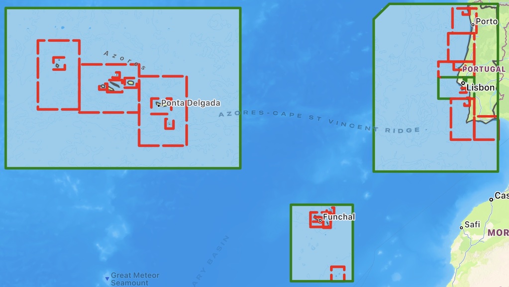
SeaNav now has vector charts available for Portugal, The Azores and the Madeira islands based on the latest official Hydrographic Office data. These work seamlessly together with the existing charts for Spain and France. The charts include the full range of scales down to harbour approaches.
You can download the new Portuguese charts now by going to Settings in SeaNav and selecting SeaNav Chart Store/Portuguese Charts.