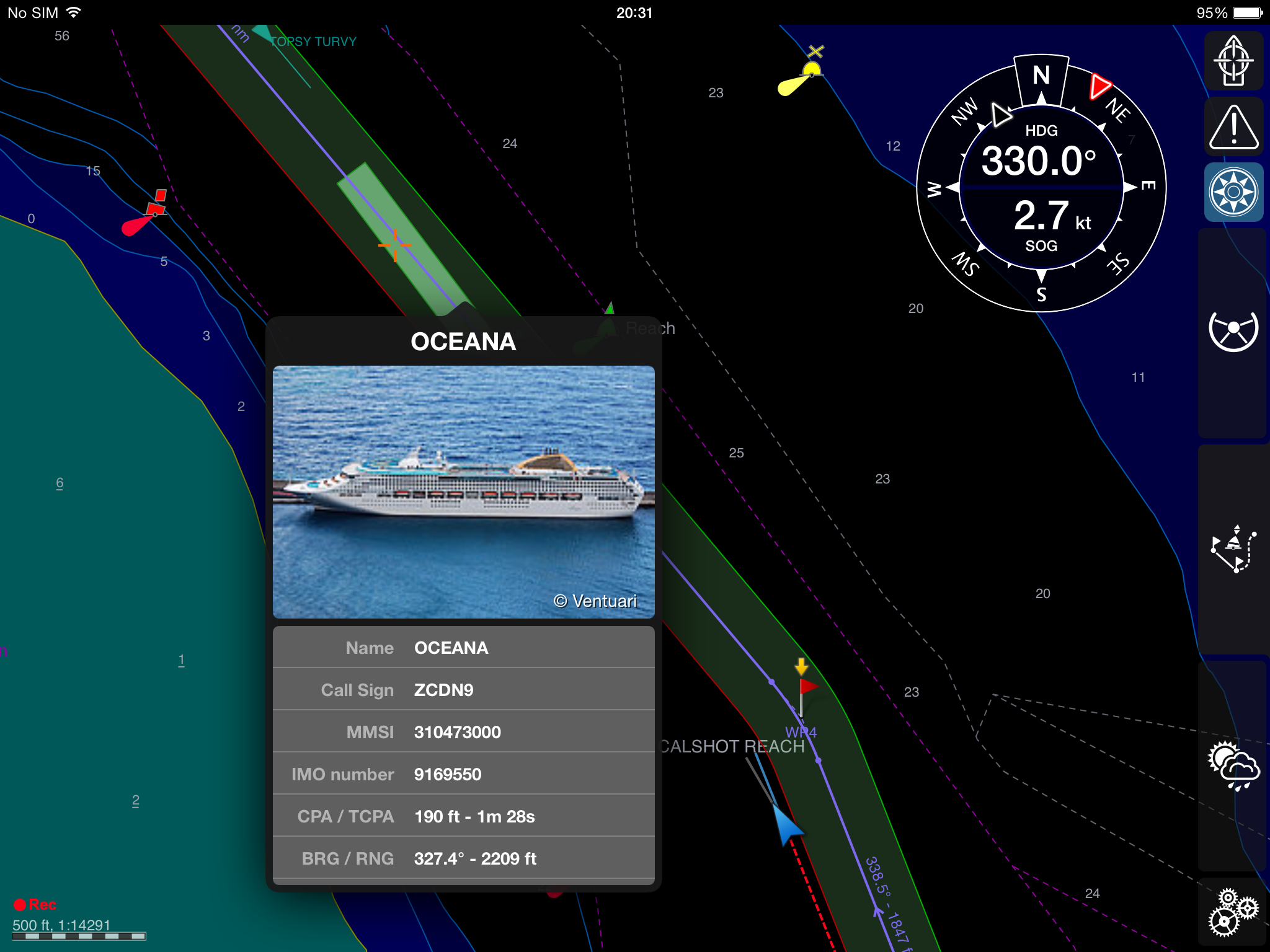
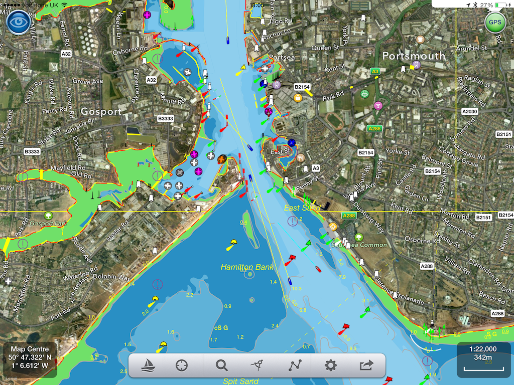
Pocket Mariner’s AISWatch service automatically monitors vessel movements and AIS SARTs in real-time using easily customisable geofences with audible and visual alerts. All AIS data is recorded and our industry first AISWatch instant replay service allows operators to retrieve data and instantly review events for incident analysis, marketing and training purposes. The AISWatch system is cloud based with easily accessible web views to display the live AIS positions and geofence states over chart or satellite maps. The same web view is also used to replay AIS scenarios from the stored AIS data.
AISWatch’s state of the art and cost effective port, ship, fleet and asset management services and apps including our industry first cloud based “Instant history playback” are used by Offshore platforms, Ports, Harbour Authorities, Fleet Managers, Marine Services companies and Shipping Agents. Our customer roster includes Portsmouth International Port , Bristol Port Company Avonmouth, Nautisk, Transas, James Fisher, E.ON, Scottish Power Renewables, RWE Innogy, SevenCs, Solis Marine and nauticAi. We also provide our AIS Watch service to Search and Rescue organisations like the RNLI , SARA and the AVCG which they use for tracking and training purposes.
More details on the AISWatch service are provided below. If you are interested in learning more or have any questions please contact us at business@pocketmariner.com .
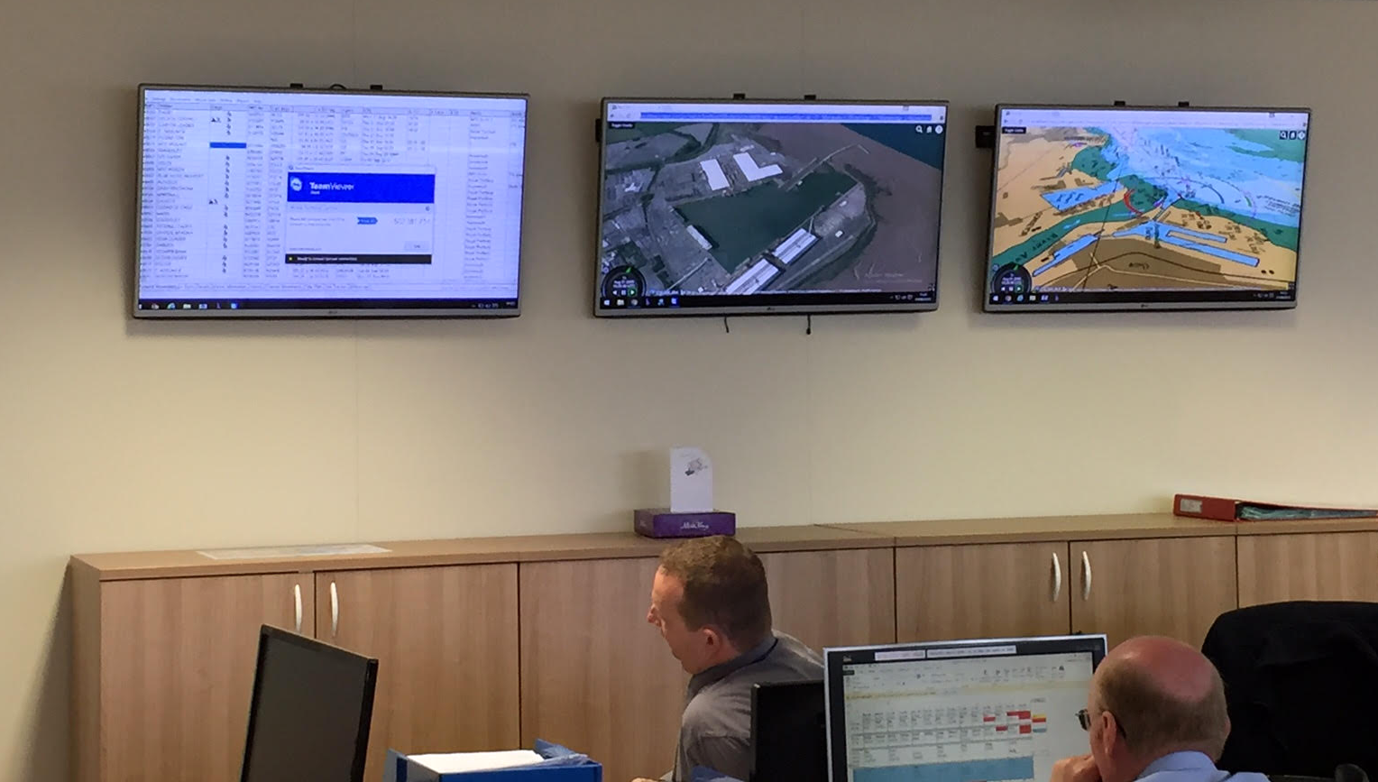
 AISWatch in use at Bristol Port Company operations centre. Showing 3D live AIS views.
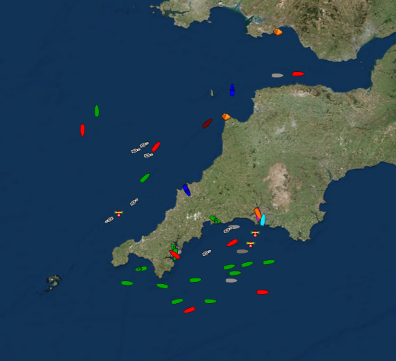
AISWatch Live view lets you monitor the current situation and geofence status on a live chart web view. Real-time ship positions and AIS targets with tracks, information and photos. 2D and 3D views available. Hydrographic office charts with customisable chart overlays and objects ( cables, pipelines, station etc.)
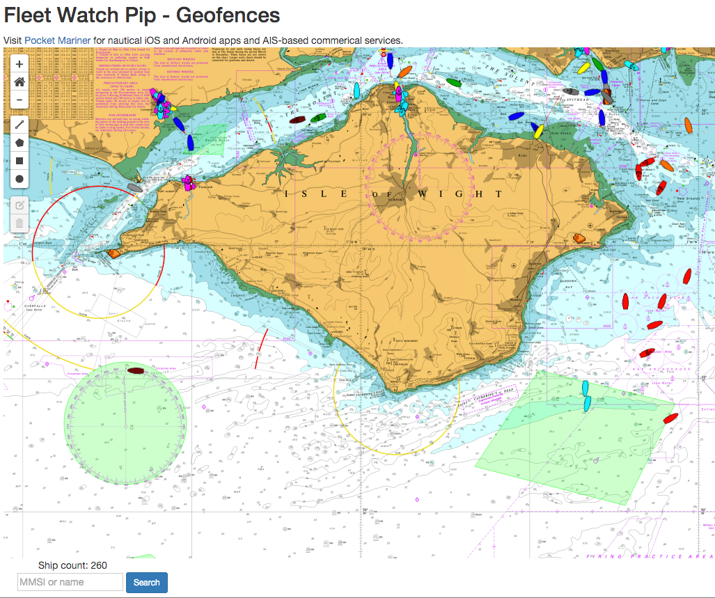
AISWatch Geofences allow you to easily create and edit real-time visual and audible alerts for area entry, exit , crossing , status (arrivals and departures), SART MOB, AtoN Off Position etc.. using a simple and easy to use visual web based map view.
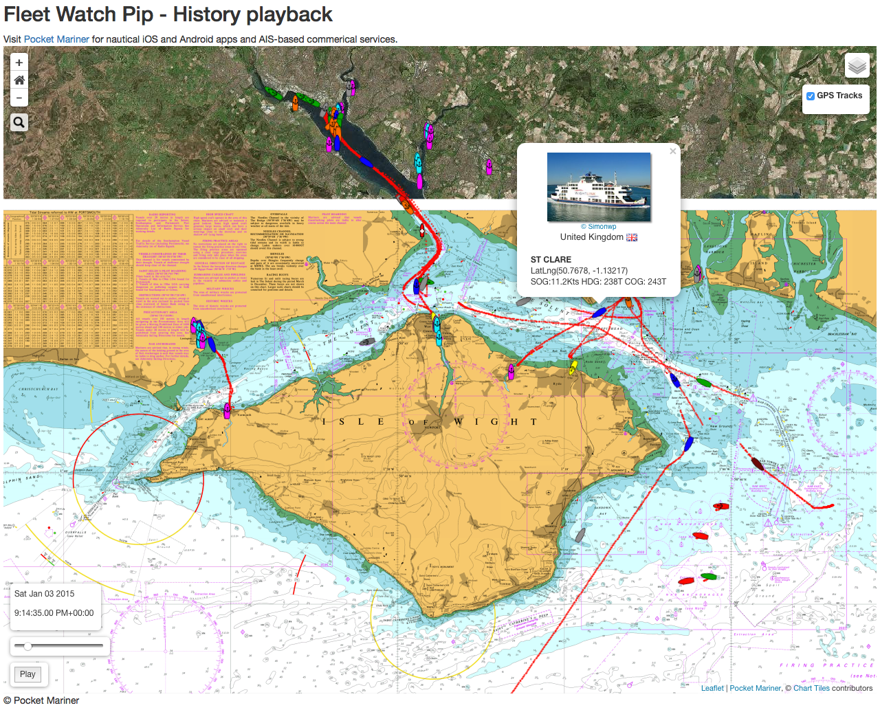
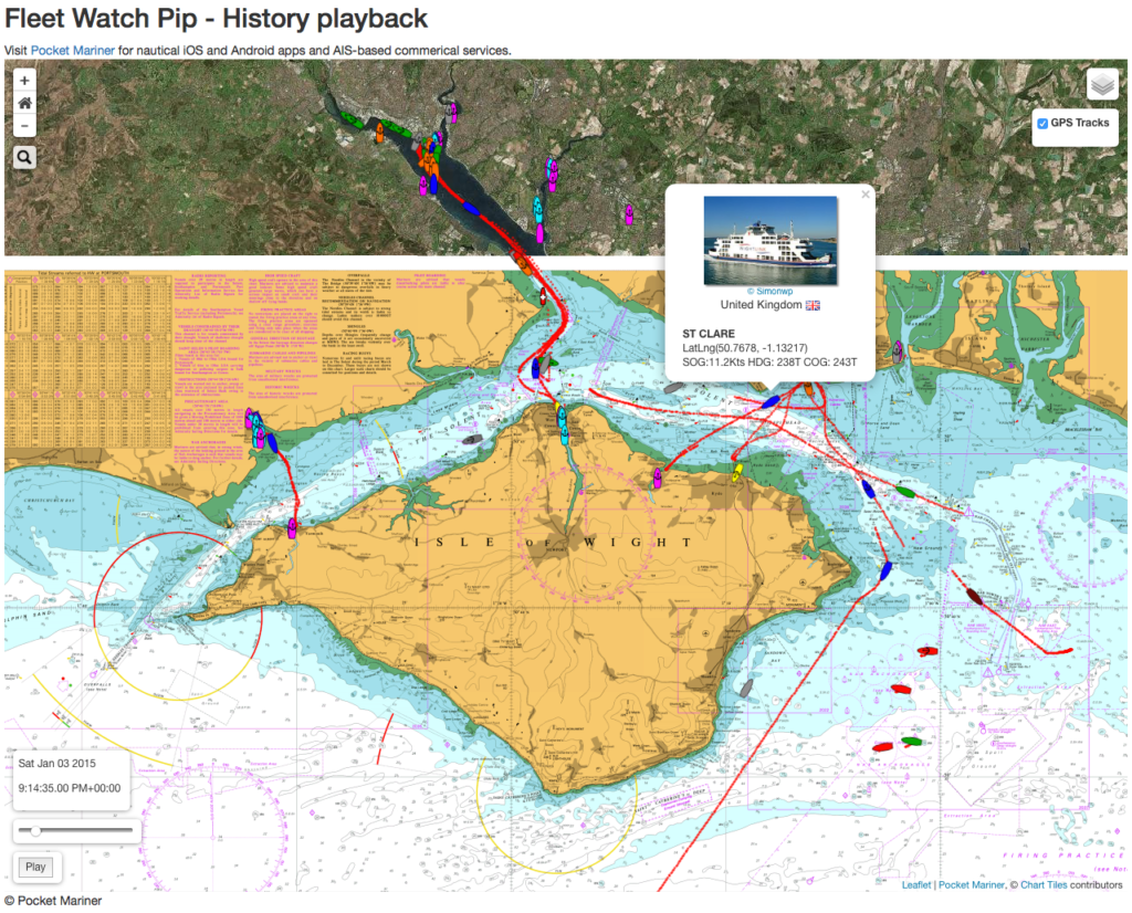
AISWatch Playback allows you to replay all shipping movements in your area instantly from any time in the past to assist with event investigation, resource utilisation, market research, training etc. Playback can be run at normal time or faster and supports forward and backward time “Scrubbing” allowing you to view an hours data in seconds to quickly determine the event you are looking for. Our live and historical AIS feeds can be also used to power other navigation systems such as those on Portable Pilot Units (PPUs) and other monitoring equipment.
Our professional services team can rapidly provide customised and tailored solutions for specific requirements and purposes.
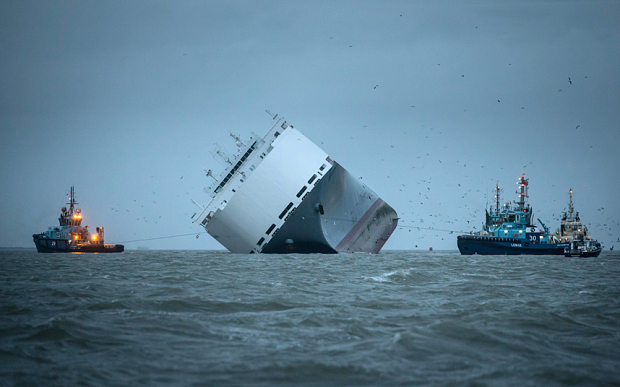
You can try our history playback service in action here in 2D – boatbeaconapp.com/aisdemo – use the slider at the bottom left to move backwards and forwards in time and press the play button to play forwards. You can also see our 3D playback in action with this replay of the Hoegh Osaka grounding in 2015 – double click on a ship to fly in close up and then use your mouse to change the zoom (scroll) and viewpoint.
Pocket Mariner also provide global real time AIS monitoring and surveillance for ships far out of reach of shore based AIS systems using our innovative Internet over Satellite AIS (iSAIS) service. with 98% global coverage (using Inmarsat services).
1. Live view
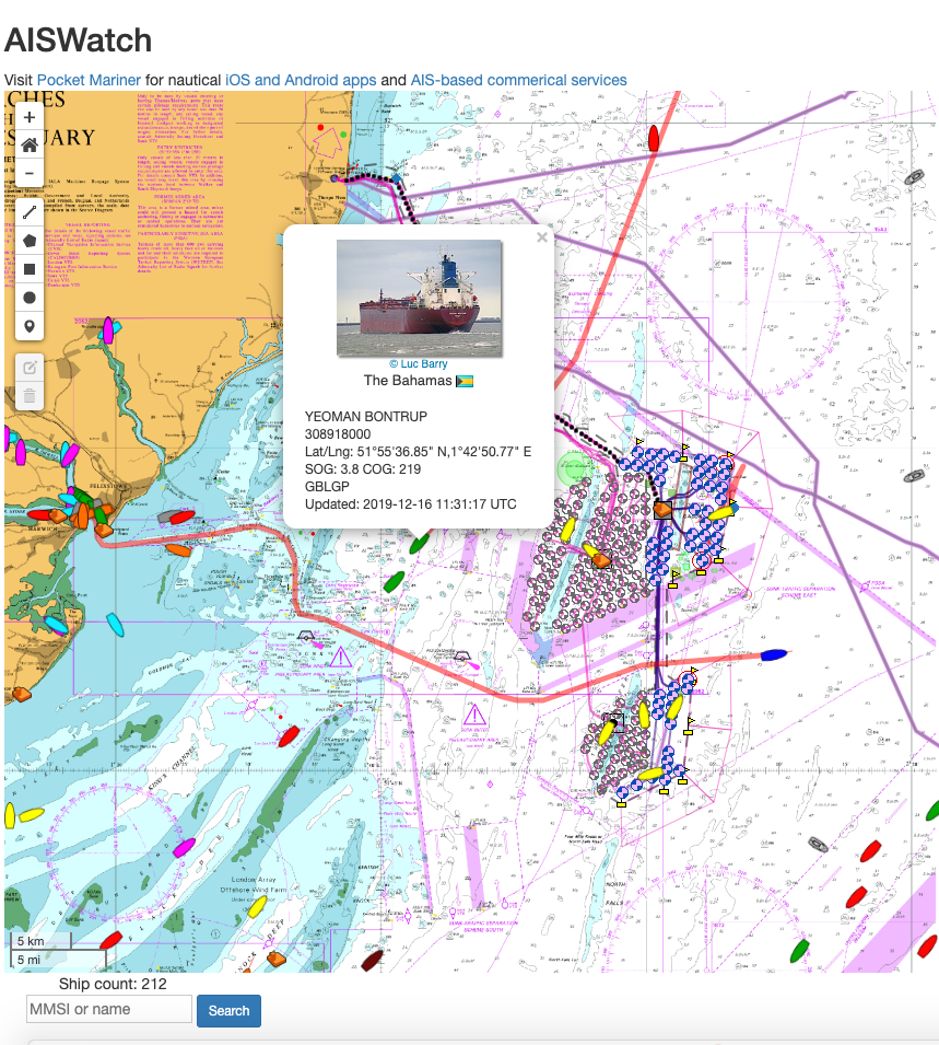
Real-time ship positions with tracks, information and photos. 2D and 3D views available. Hydrographic office charts with customisable chart overlays and objects ( cables, pipelines, station etc.)
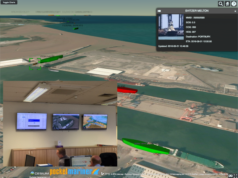
AISWatch monitors and records live ship positions via our local and global AIS services and when an event is triggered, forwards an alert via email and optionally SMS. The alert email includes details on the alert including maps of the alert area and ships around the ship’s current position. These maps can also be viewed via the web interface in 2D and our 3D service.
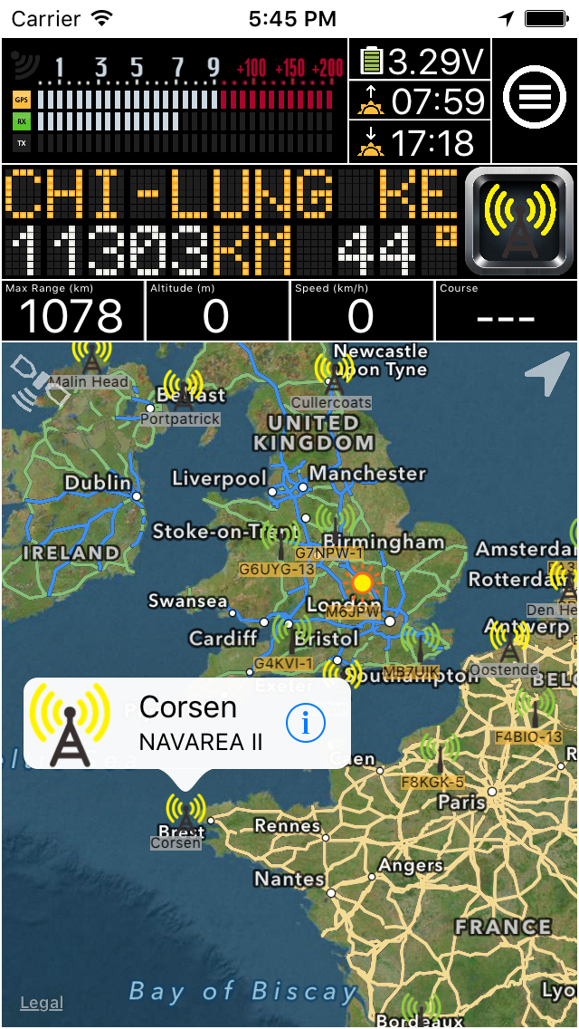
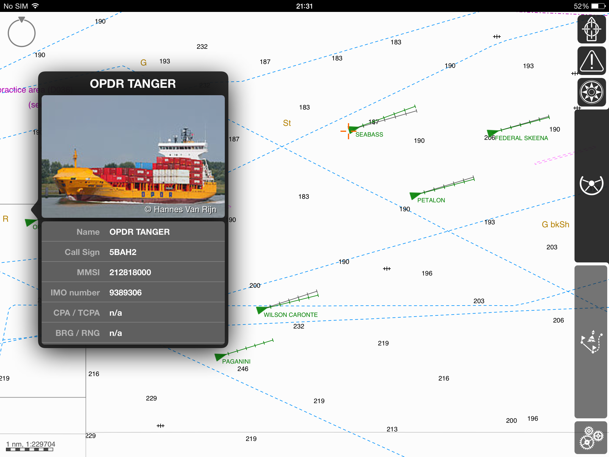
Our real time AIS feeds can also be used to power network aware AIS marine applications and systems such as our own SeaNav AIS Marine Charts and Navigation apps and third party systems like Portable Pilot Units (e.g. Transas’s Pilot Pro and SevenCs Orca G2 pilot. ).
2. Geofences
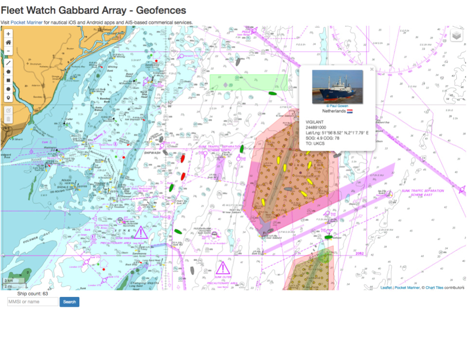 Geofences let you configure alerts for all ships (Zone Alerts) or your specific fleet of ships and AtoN’s (Fleet Alerts). Fleet alerts are not confined to your zone of interest. They can be set anywhere in the world subject to our system having live coverage of the region. Many different alerts are available from entering or leaving an area, crossing a line, arrival and departure (status), anchor watch, proximity, collision, SART, AtoN off position etc. Mobile Geofences can also be attached to moving ships and objects. When an alert fires an email/SMS is sent to all the alert addresses containing details for the event including a map of what and where triggered the event and a second map showing the ship’s current position.
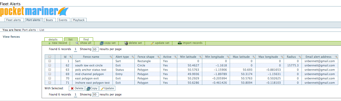
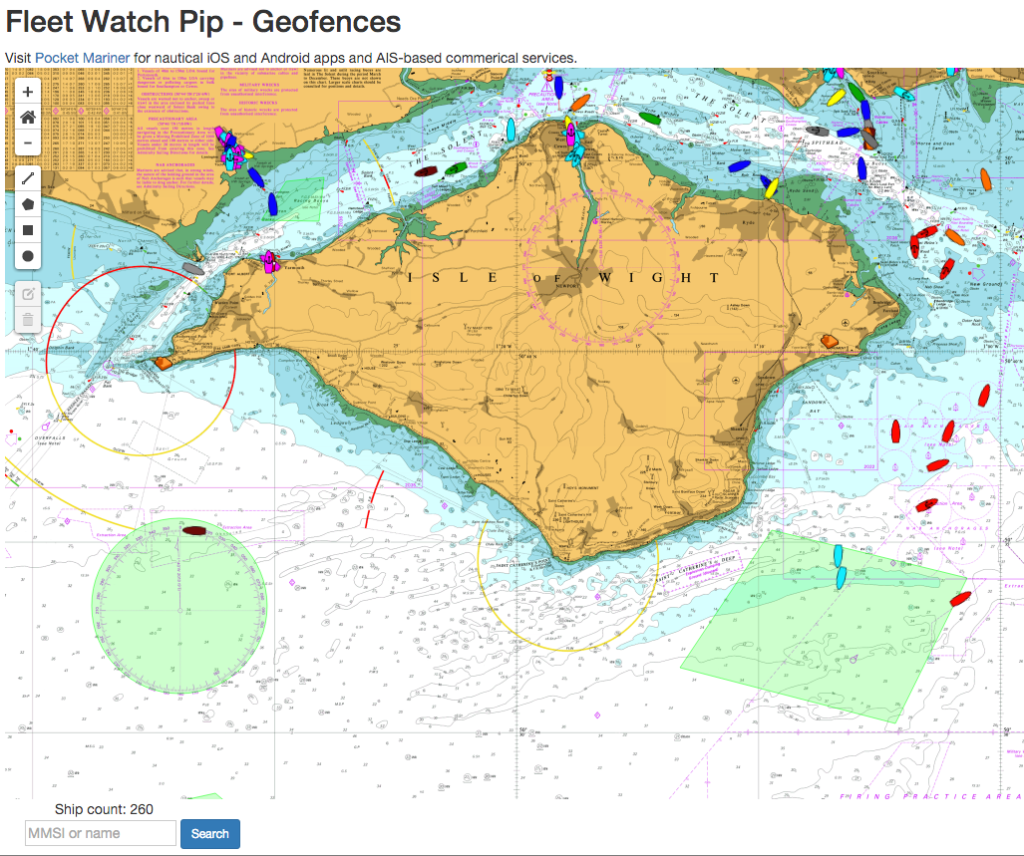
You can create and edit the fences using this management screen or using our interactive map. Just click on the view fences button top left on either the Fleet Alerts or Port Alerts screens.
Tap View fences near the top left to view you currently configured fences on the chart. You can also edit existing fences by tapping on them and create new fences using the drawing tools. Rectangular, circular and polygon geofences are all supported (see example green fence areas below).
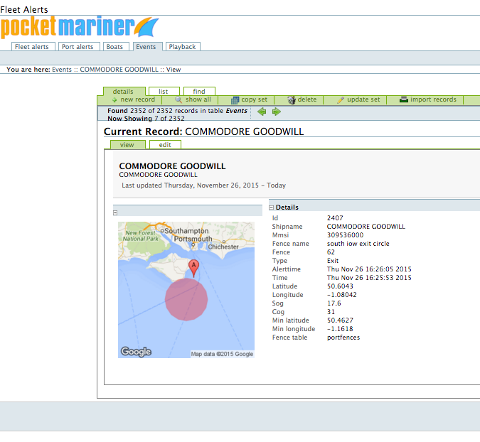
In the detail view for an alert you can also see the geofence alert position on a map to help you identify and set it.
As well as sending alerts to email addresses all Alerts are recorded in the searchable Events table. Tap on an event and see a map showing where and when it happened. Alternatively you can use the Ships tab to see details on the most recent events for a ship. Tap on an event to see a map of where it fired and the geofence area that it triggered.
3. Instant History replay – playing back ship movements and events
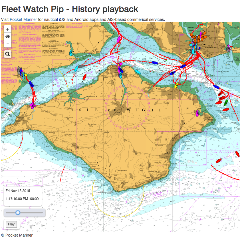
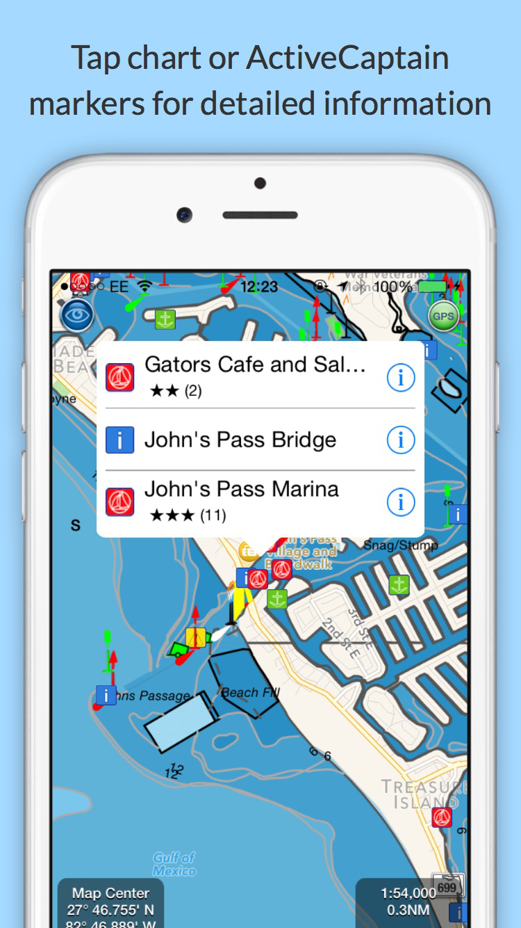
AISWatch records all the time stamped AIS data for your port or area of interest second by second. The data is securely stored in our highly available (99.995%) and redundant cloud based computing platform for as long as you want from months to years or forever. You can retrieve ship movements from any day and time in your AISWatch past instantly at the click of a mouse button using a calendar picker and then replay them on our web map view and via dedicated internet ports to other AIS apps like our iOS and Mac SeaNav chart plotter with ENC vector charts and other marine navigation apps like on of our partners SevenCs’ Orca G2 Pilot (PC display with Vector charts).
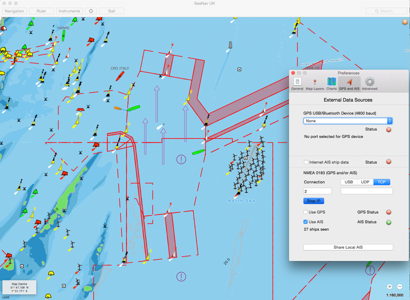
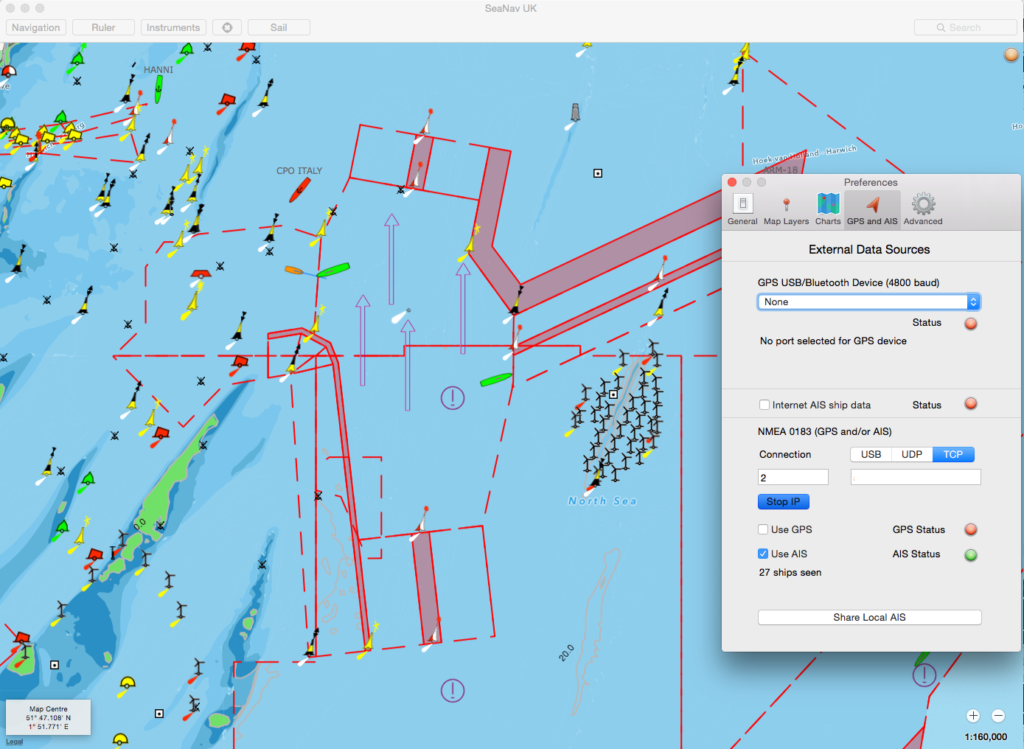
When the AIS playback is running it also outputs the recorded AIS data stream over a dedicated TCP port so that you can connect other apps and devices to view it. The playback also has our unique enhanced Type 5 AIS messages added so the static data for ships show immediately a ship appears rather than waiting for the static AIS messages to be re-sent (which can take up to 6 minutes to receive).
Fast scrubbing playback view (see live demo here http://boatbeaconapp.com/fleetwatchdemo)
On the fast scrubbing view you can use the slide at the bottom left to scroll back and forth through the whole period. You can also press play to playback from the current scrubbing position.
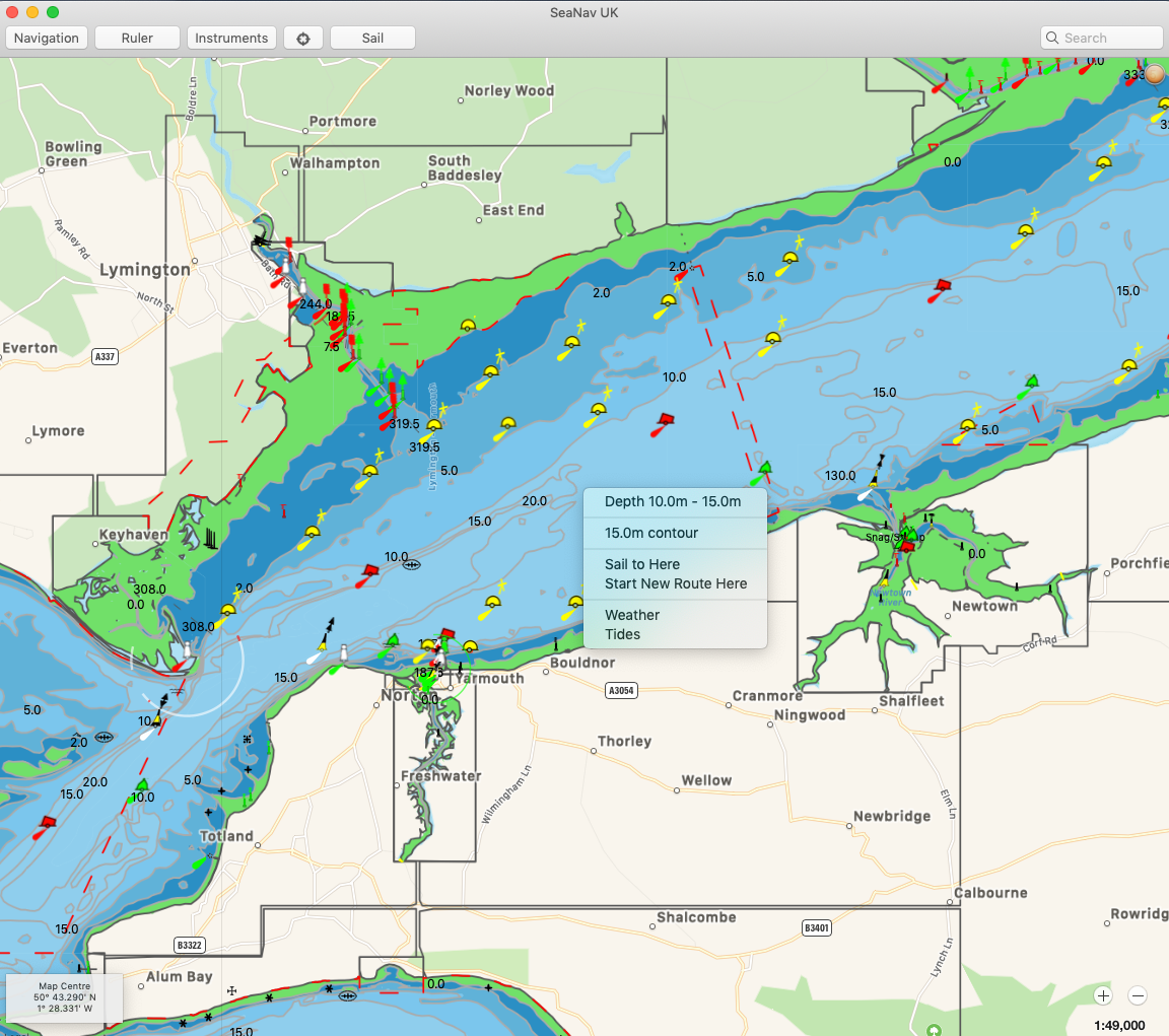
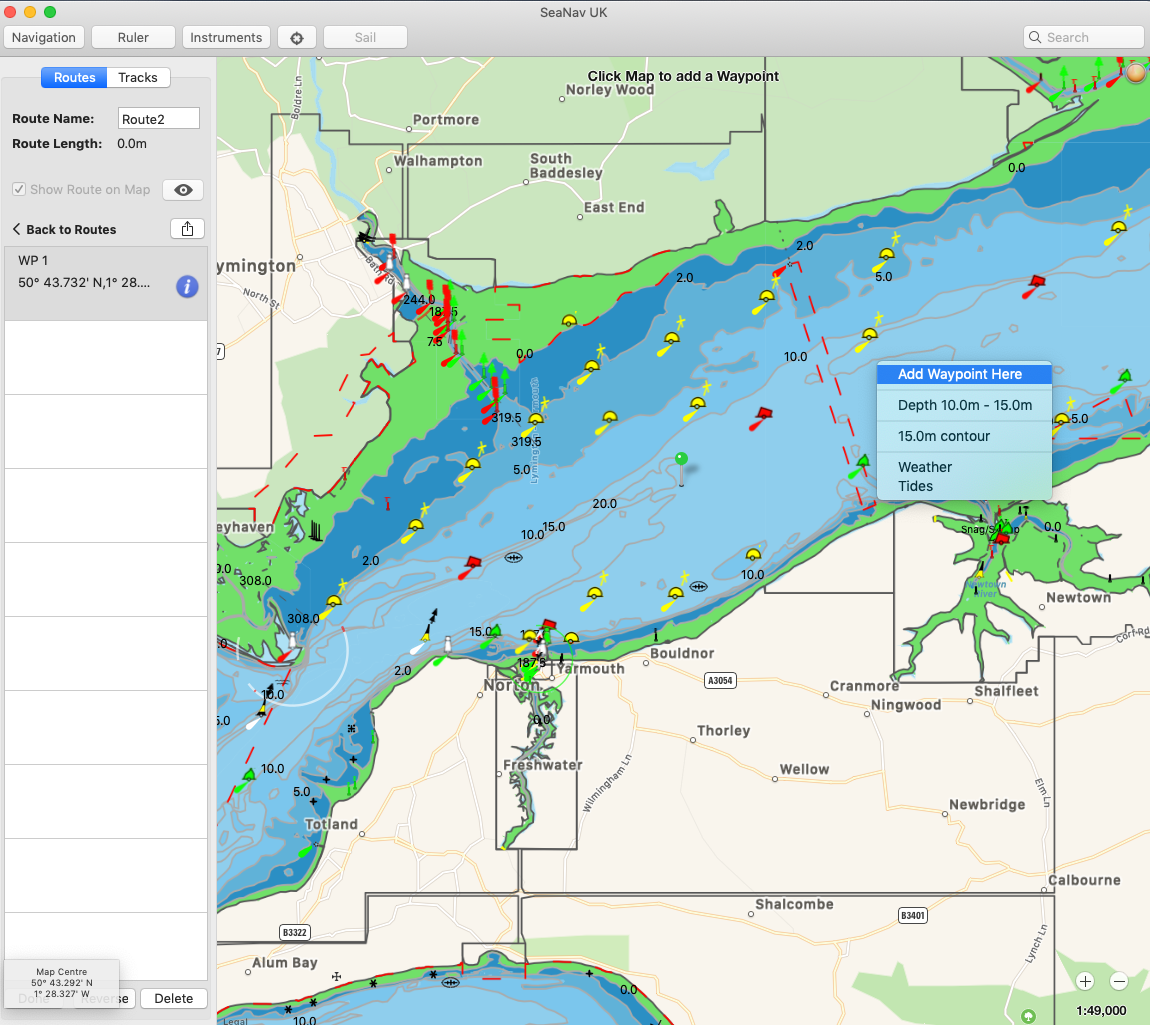
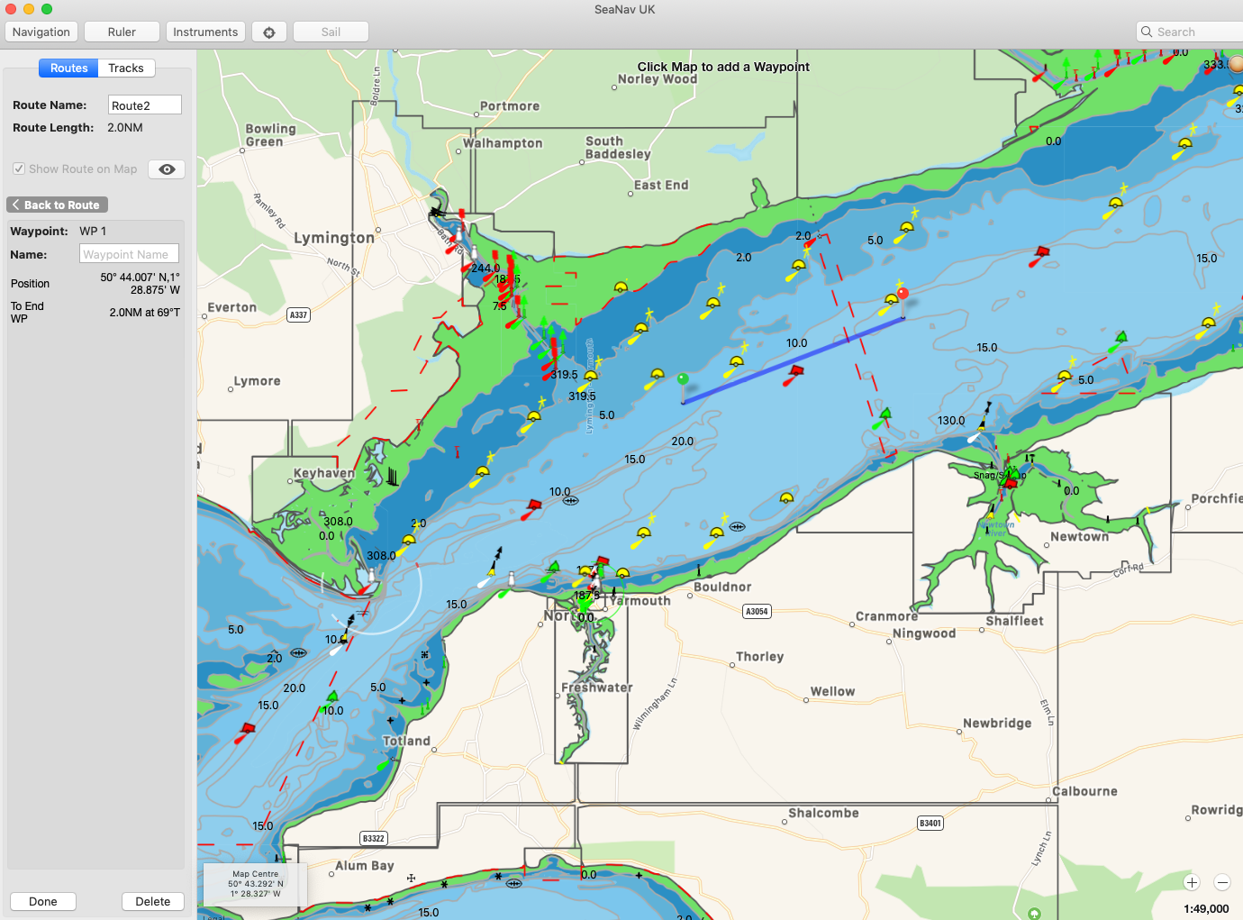
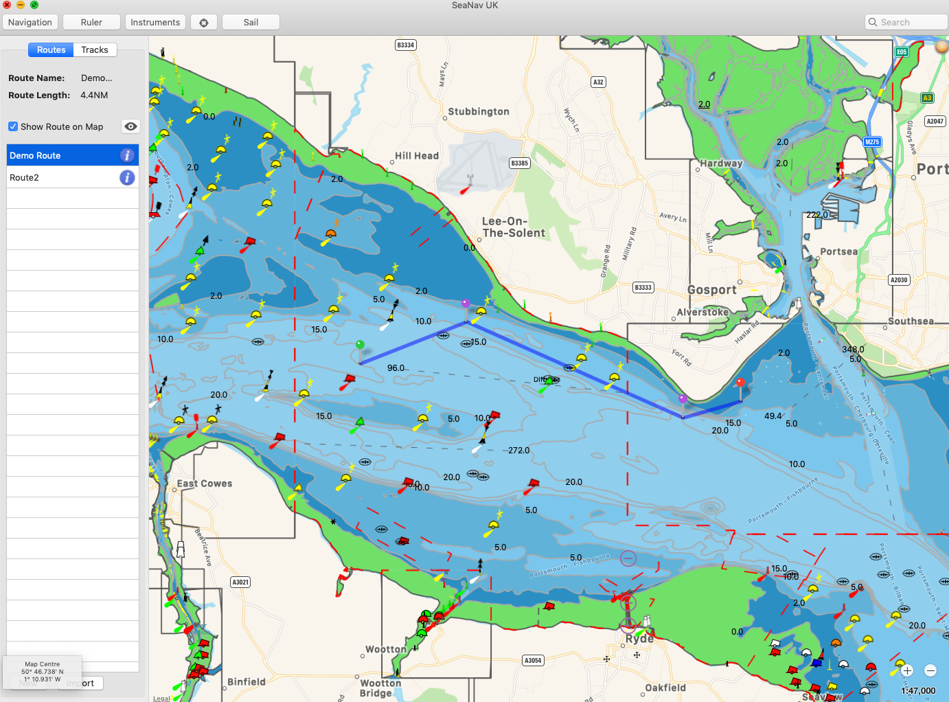
External app (SeaNav) driven from AISWatch Playback using the TCP connection.
Output from the playbacks can also be captured to video for viewing again independently of the AISWatch service. We recommend using the excellent and free VLC app on PC’s to capture the video or Apple’s free QuickTime app to record the screen on Macs.
You can see an example of a short video recording (1.5 minutes) replaying the arrival and docking of the Normandie ferry at Portsmouth International Port here :- Watch now
If you have any questions or for further information please contact us via business@pocketmariner.com or phone +44 1291 689202.